Distance from Bexley to Paris
Distance between Bexley and Paris is 328 kilometers (204 miles).
Driving distance from Bexley to Paris is 443 kilometers (275 miles).
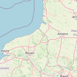
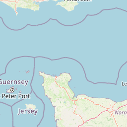
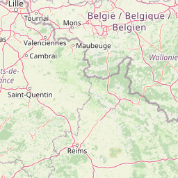
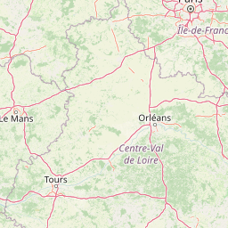
Distance Map Between Bexley and Paris
Bexley, London, United Kingdom ↔ Paris, France = 204 miles = 328 km.


How far is it between Bexley and Paris
Bexley is located in United Kingdom with (51.4416,0.1487) coordinates and Paris is located in France with (48.8534,2.3488) coordinates. The calculated flying distance from Bexley to Paris is equal to 204 miles which is equal to 328 km.
If you want to go by car, the driving distance between Bexley and Paris is 442.86 km. If you ride your car with an average speed of 112 kilometers/hour (70 miles/h), travel time will be 03 hours 57 minutes. Please check the avg. speed travel time table on the right for various options.
Difference between fly and go by a car is 115 km.
| City/Place | Latitude and Longitude | GPS Coordinates |
|---|---|---|
| Bexley | 51.4416, 0.1487 | 51° 26´ 29.8320'' N 0° 8´ 55.1760'' E |
| Paris | 48.8534, 2.3488 | 48° 51´ 12.2760'' N 2° 20´ 55.6800'' E |
Estimated Travel Time Between Bexley and Paris
| Average Speed | Travel Time |
|---|---|
| 30 mph (48 km/h) | 09 hours 13 minutes |
| 40 mph (64 km/h) | 06 hours 55 minutes |
| 50 mph (80 km/h) | 05 hours 32 minutes |
| 60 mph (97 km/h) | 04 hours 33 minutes |
| 70 mph (112 km/h) | 03 hours 57 minutes |
| 75 mph (120 km/h) | 03 hours 41 minutes |
Related Distances to Paris
| Cities | Distance |
|---|---|
| London to Paris | 456 km |
| City Of London to Paris | 474 km |
| Liverpool to Paris | 831 km |
| Manchester to Paris | 812 km |
| Birmingham to Paris | 682 km |