Distance from Bhachau to Bhuj
Distance between Bhachau and Bhuj is 69 kilometers (43 miles).
Driving distance from Bhachau to Bhuj is 79 kilometers (49 miles).
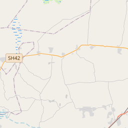
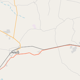
Distance Map Between Bhachau and Bhuj
Bhachau, Ghandinagar, India ↔ Bhuj, Ghandinagar, India = 43 miles = 69 km.


How far is it between Bhachāu and Bhuj
Bhachau is located in India with (23.2986,70.3428) coordinates and Bhuj is located in India with (23.254,69.6693) coordinates. The calculated flying distance from Bhachau to Bhuj is equal to 43 miles which is equal to 69 km.
If you want to go by car, the driving distance between Bhachau and Bhuj is 79.09 km. If you ride your car with an average speed of 112 kilometers/hour (70 miles/h), travel time will be 00 hours 42 minutes. Please check the avg. speed travel time table on the right for various options.
Difference between fly and go by a car is 10 km.
| City/Place | Latitude and Longitude | GPS Coordinates |
|---|---|---|
| Bhachau | 23.2986, 70.3428 | 23° 17´ 54.8880'' N 70° 20´ 34.0440'' E |
| Bhuj | 23.254, 69.6693 | 23° 15´ 14.2920'' N 69° 40´ 9.4080'' E |
Estimated Travel Time Between Bhachāu and Bhuj
| Average Speed | Travel Time |
|---|---|
| 30 mph (48 km/h) | 01 hours 38 minutes |
| 40 mph (64 km/h) | 01 hours 14 minutes |
| 50 mph (80 km/h) | 00 hours 59 minutes |
| 60 mph (97 km/h) | 00 hours 48 minutes |
| 70 mph (112 km/h) | 00 hours 42 minutes |
| 75 mph (120 km/h) | 00 hours 39 minutes |
Related Distances from Bhachau
| Cities | Distance |
|---|---|
| Bhachau to Gandhidham | 39 km |
| Bhachau to Bhuj | 79 km |
| Bhachau to Rajkot | 156 km |
| Bhachau to Kandla | 44 km |
| Bhachau to Jamnagar | 179 km |
Related Distances to Bhuj
| Cities | Distance |
|---|---|
| Ahmedabad to Bhuj | 335 km |
| Bhachau to Bhuj | 79 km |
| Anjar to Bhuj | 42 km |
| Bhavnagar to Bhuj | 424 km |
| Amreli to Bhuj | 350 km |