Distance from Bhadohi to Handia
Distance between Bhadohi and Handia is 38 kilometers (24 miles).
Driving distance from Bhadohi to Handia is 46 kilometers (29 miles).
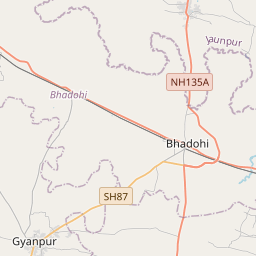
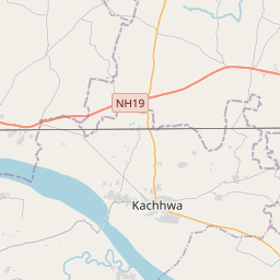
Distance Map Between Bhadohi and Handia
Bhadohi, Lucknow, India ↔ Handia, Lucknow, India = 24 miles = 38 km.


How far is it between Bhadohī and Handiā
Bhadohi is located in India with (25.3949,82.5664) coordinates and Handia is located in India with (25.3634,82.1877) coordinates. The calculated flying distance from Bhadohi to Handia is equal to 24 miles which is equal to 38 km.
If you want to go by car, the driving distance between Bhadohi and Handia is 46.03 km. If you ride your car with an average speed of 112 kilometers/hour (70 miles/h), travel time will be 00 hours 24 minutes. Please check the avg. speed travel time table on the right for various options.
Difference between fly and go by a car is 8 km.
| City/Place | Latitude and Longitude | GPS Coordinates |
|---|---|---|
| Bhadohi | 25.3949, 82.5664 | 25° 23´ 41.6400'' N 82° 33´ 58.8960'' E |
| Handia | 25.3634, 82.1877 | 25° 21´ 48.3840'' N 82° 11´ 15.7560'' E |
Estimated Travel Time Between Bhadohī and Handiā
| Average Speed | Travel Time |
|---|---|
| 30 mph (48 km/h) | 00 hours 57 minutes |
| 40 mph (64 km/h) | 00 hours 43 minutes |
| 50 mph (80 km/h) | 00 hours 34 minutes |
| 60 mph (97 km/h) | 00 hours 28 minutes |
| 70 mph (112 km/h) | 00 hours 24 minutes |
| 75 mph (120 km/h) | 00 hours 23 minutes |
Related Distances from Bhadohi
| Cities | Distance |
|---|---|
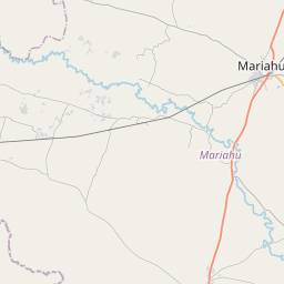
| Bhadohi to Mariahu | 24 km |
| Bhadohi to Mirzapur | 32 km |
| Bhadohi to Handia | 46 km |
| Bhadohi to Machhlishahr | 46 km |
| Bhadohi to Shahganj | 77 km |
Related Distances to Handia
| Cities | Distance |
|---|---|
| Allahabad to Handia | 38 km |
| Bhadohi to Handia | 46 km |
| Baraut to Handia | 760 km |
| Azamgarh to Handia | 153 km |
| Fatehpur to Handia | 166 km |