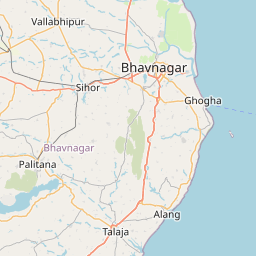
Distance from Bhavnagar to Halol
Distance between Bhavnagar and Halol is 158 kilometers (98 miles).
Driving distance from Bhavnagar to Halol is 243 kilometers (151 miles).
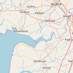
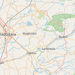
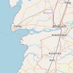
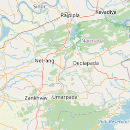
Distance Map Between Bhavnagar and Halol
Bhavnagar, Ghandinagar, India ↔ Halol, Ghandinagar, India = 98 miles = 158 km.


How far is it between Bhāvnagar and Hālol
Bhavnagar is located in India with (21.7745,72.1525) coordinates and Halol is located in India with (22.5032,73.4724) coordinates. The calculated flying distance from Bhavnagar to Halol is equal to 98 miles which is equal to 158 km.
If you want to go by car, the driving distance between Bhavnagar and Halol is 243.21 km. If you ride your car with an average speed of 112 kilometers/hour (70 miles/h), travel time will be 02 hours 10 minutes. Please check the avg. speed travel time table on the right for various options.
Difference between fly and go by a car is 85 km.
| City/Place | Latitude and Longitude | GPS Coordinates |
|---|---|---|
| Bhavnagar | 21.7745, 72.1525 | 21° 46´ 28.0200'' N 72° 9´ 9.0000'' E |
| Halol | 22.5032, 73.4724 | 22° 30´ 11.5560'' N 73° 28´ 20.7120'' E |
Estimated Travel Time Between Bhāvnagar and Hālol
| Average Speed | Travel Time |
|---|---|
| 30 mph (48 km/h) | 05 hours 04 minutes |
| 40 mph (64 km/h) | 03 hours 48 minutes |
| 50 mph (80 km/h) | 03 hours 02 minutes |
| 60 mph (97 km/h) | 02 hours 30 minutes |
| 70 mph (112 km/h) | 02 hours 10 minutes |
| 75 mph (120 km/h) | 02 hours 01 minutes |
Related Distances from Bhavnagar
| Cities | Distance |
|---|---|
| Bhavnagar to Talaja | 54 km |
| Bhavnagar to Sihor | 24 km |
| Bhavnagar to Rajkot | 175 km |
| Bhavnagar to Gadhada | 79 km |
| Bhavnagar to Khambhat | 137 km |
Related Distances to Halol
| Cities | Distance |
|---|---|
| Ahmedabad to Halol | 138 km |
| Godhra to Halol | 40 km |
| Dahod to Halol | 115 km |
| Ankleshwar to Halol | 127 km |
| Dabhoi to Halol | 53 km |