Distance from Bhavnagar to Rajpipla
Distance between Bhavnagar and Rajpipla is 139 kilometers (87 miles).
Driving distance from Bhavnagar to Rajpipla is 276 kilometers (172 miles).
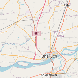
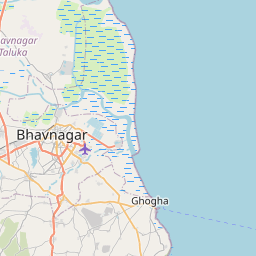
Distance Map Between Bhavnagar and Rajpipla
Bhavnagar, Ghandinagar, India ↔ Rajpipla, Ghandinagar, India = 87 miles = 139 km.


How far is it between Bhāvnagar and Rājpīpla
Bhavnagar is located in India with (21.7745,72.1525) coordinates and Rajpipla is located in India with (21.8667,73.5) coordinates. The calculated flying distance from Bhavnagar to Rajpipla is equal to 87 miles which is equal to 139 km.
If you want to go by car, the driving distance between Bhavnagar and Rajpipla is 276.05 km. If you ride your car with an average speed of 112 kilometers/hour (70 miles/h), travel time will be 02 hours 27 minutes. Please check the avg. speed travel time table on the right for various options.
Difference between fly and go by a car is 137 km.
| City/Place | Latitude and Longitude | GPS Coordinates |
|---|---|---|
| Bhavnagar | 21.7745, 72.1525 | 21° 46´ 28.0200'' N 72° 9´ 9.0000'' E |
| Rajpipla | 21.8667, 73.5 | 21° 52´ 0.0120'' N 73° 30´ 0.0000'' E |
Estimated Travel Time Between Bhāvnagar and Rājpīpla
| Average Speed | Travel Time |
|---|---|
| 30 mph (48 km/h) | 05 hours 45 minutes |
| 40 mph (64 km/h) | 04 hours 18 minutes |
| 50 mph (80 km/h) | 03 hours 27 minutes |
| 60 mph (97 km/h) | 02 hours 50 minutes |
| 70 mph (112 km/h) | 02 hours 27 minutes |
| 75 mph (120 km/h) | 02 hours 18 minutes |
Related Distances from Bhavnagar
| Cities | Distance |
|---|---|
| Bhavnagar to Talaja | 54 km |
| Bhavnagar to Sihor | 24 km |
| Bhavnagar to Rajkot | 175 km |
| Bhavnagar to Gadhada | 79 km |
| Bhavnagar to Khambhat | 137 km |
Related Distances to Rajpipla
| Cities | Distance |
|---|---|
| Ahmedabad to Rajpipla | 180 km |
| Dabhoi to Rajpipla | 47 km |
| Bharuch to Rajpipla | 68 km |
| Halol to Rajpipla | 91 km |
| Ankleshwar to Rajpipla | 66 km |