Distance from Bhinga to Nagina
Distance between Bhinga and Nagina is 393 kilometers (244 miles).
Driving distance from Bhinga to Nagina is 501 kilometers (311 miles).
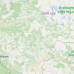
Distance Map Between Bhinga and Nagina
Bhinga, Lucknow, India ↔ Nagina, Lucknow, India = 244 miles = 393 km.


How far is it between Bhinga and Nagīna
Bhinga is located in India with (27.7035,81.9342) coordinates and Nagina is located in India with (29.4444,78.4349) coordinates. The calculated flying distance from Bhinga to Nagina is equal to 244 miles which is equal to 393 km.
If you want to go by car, the driving distance between Bhinga and Nagina is 500.59 km. If you ride your car with an average speed of 112 kilometers/hour (70 miles/h), travel time will be 04 hours 28 minutes. Please check the avg. speed travel time table on the right for various options.
Difference between fly and go by a car is 108 km.
| City/Place | Latitude and Longitude | GPS Coordinates |
|---|---|---|
| Bhinga | 27.7035, 81.9342 | 27° 42´ 12.7440'' N 81° 56´ 3.0120'' E |
| Nagina | 29.4444, 78.4349 | 29° 26´ 39.8040'' N 78° 26´ 5.5680'' E |
Estimated Travel Time Between Bhinga and Nagīna
| Average Speed | Travel Time |
|---|---|
| 30 mph (48 km/h) | 10 hours 25 minutes |
| 40 mph (64 km/h) | 07 hours 49 minutes |
| 50 mph (80 km/h) | 06 hours 15 minutes |
| 60 mph (97 km/h) | 05 hours 09 minutes |
| 70 mph (112 km/h) | 04 hours 28 minutes |
| 75 mph (120 km/h) | 04 hours 10 minutes |
Related Distances from Bhinga
| Cities | Distance |
|---|---|
| Bhinga to Gonda | 99 km |
| Bhinga to Gorakhpur 2 | 238 km |
| Bhinga to Faizabad | 166 km |
| Bhinga to Varanasi | 352 km |
| Bhinga to Sitapur | 196 km |
Related Distances to Nagina
| Cities | Distance |
|---|---|
| Bijnor to Nagina | 31 km |
| Moradabad to Nagina | 89 km |
| Dhampur to Nagina | 18 km |
| Meerut to Nagina | 104 km |
| Chandpur to Nagina | 51 km |