Distance from Bhuj to Dwarka
Distance between Bhuj and Dwarka is 134 kilometers (83 miles).
Driving distance from Bhuj to Dwarka is 392 kilometers (243 miles).
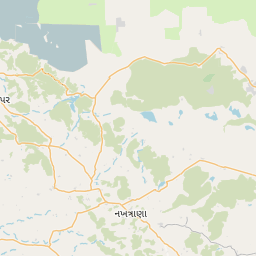
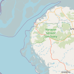
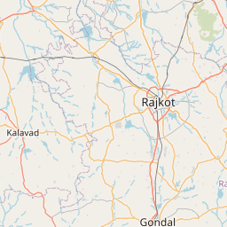
Distance Map Between Bhuj and Dwarka
Bhuj, Ghandinagar, India ↔ Dwarka, Ghandinagar, India = 83 miles = 134 km.


How far is it between Bhuj and Dwārka
Bhuj is located in India with (23.254,69.6693) coordinates and Dwarka is located in India with (22.2394,68.9678) coordinates. The calculated flying distance from Bhuj to Dwarka is equal to 83 miles which is equal to 134 km.
If you want to go by car, the driving distance between Bhuj and Dwarka is 391.83 km. If you ride your car with an average speed of 112 kilometers/hour (70 miles/h), travel time will be 03 hours 29 minutes. Please check the avg. speed travel time table on the right for various options.
Difference between fly and go by a car is 258 km.
| City/Place | Latitude and Longitude | GPS Coordinates |
|---|---|---|
| Bhuj | 23.254, 69.6693 | 23° 15´ 14.2920'' N 69° 40´ 9.4080'' E |
| Dwarka | 22.2394, 68.9678 | 22° 14´ 21.9840'' N 68° 58´ 4.0080'' E |
Estimated Travel Time Between Bhuj and Dwārka
| Average Speed | Travel Time |
|---|---|
| 30 mph (48 km/h) | 08 hours 09 minutes |
| 40 mph (64 km/h) | 06 hours 07 minutes |
| 50 mph (80 km/h) | 04 hours 53 minutes |
| 60 mph (97 km/h) | 04 hours 02 minutes |
| 70 mph (112 km/h) | 03 hours 29 minutes |
| 75 mph (120 km/h) | 03 hours 15 minutes |
Related Distances from Bhuj
| Cities | Distance |
|---|---|
| Bhuj to Rapar | 128 km |
| Bhuj to Rajkot | 236 km |
| Bhuj to Mandvi | 60 km |
| Bhuj to Dwarka | 392 km |
| Bhuj to Than | 231 km |
Related Distances to Dwarka
| Cities | Distance |
|---|---|
| Ahmedabad to Dwarka | 443 km |
| Bhavnagar to Dwarka | 393 km |
| Bhuj to Dwarka | 392 km |
| Bardoli to Dwarka | 683 km |
| Anjar to Dwarka | 353 km |