Distance from Bidar to Mangalore
Distance between Bidar and Mangalore is 625 kilometers (388 miles).
Driving distance from Bidar to Mangalore is 849 kilometers (528 miles).
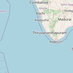
Distance Map Between Bidar and Mangalore
Bidar, Bangalore, India ↔ Mangalore, Bangalore, India = 388 miles = 625 km.


How far is it between Bīdar and Mangalore
Bidar is located in India with (17.9133,77.5301) coordinates and Mangalore is located in India with (12.9172,74.856) coordinates. The calculated flying distance from Bidar to Mangalore is equal to 388 miles which is equal to 625 km.
If you want to go by car, the driving distance between Bidar and Mangalore is 848.97 km. If you ride your car with an average speed of 112 kilometers/hour (70 miles/h), travel time will be 07 hours 34 minutes. Please check the avg. speed travel time table on the right for various options.
Difference between fly and go by a car is 224 km.
| City/Place | Latitude and Longitude | GPS Coordinates |
|---|---|---|
| Bidar | 17.9133, 77.5301 | 17° 54´ 47.9160'' N 77° 31´ 48.3960'' E |
| Mangalore | 12.9172, 74.856 | 12° 55´ 2.0280'' N 74° 51´ 21.7080'' E |
Estimated Travel Time Between Bīdar and Mangalore
| Average Speed | Travel Time |
|---|---|
| 30 mph (48 km/h) | 17 hours 41 minutes |
| 40 mph (64 km/h) | 13 hours 15 minutes |
| 50 mph (80 km/h) | 10 hours 36 minutes |
| 60 mph (97 km/h) | 08 hours 45 minutes |
| 70 mph (112 km/h) | 07 hours 34 minutes |
| 75 mph (120 km/h) | 07 hours 04 minutes |
Related Distances from Bidar
| Cities | Distance |
|---|---|
| Bidar to Chincholi | 62 km |
| Bidar to Gurmatkal | 153 km |
| Bidar to Gulbarga | 114 km |
| Bidar to Bijapur | 281 km |
| Bidar to Chamrajnagar | 872 km |
Related Distances to Mangalore
| Cities | Distance |
|---|---|
| Bangalore to Mangalore | 352 km |
| Chikmagalur to Mangalore | 152 km |
| Bhatkal to Mangalore | 141 km |
| Hoskote to Mangalore | 400 km |
| Gangolli to Mangalore | 106 km |