Distance from Bidur to Takeo
Distance between Bidur and Takeo is 856 kilometers (532 miles).
Driving distance from Bidur to Takeo is 2047 kilometers (1272 miles).
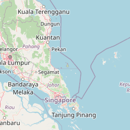
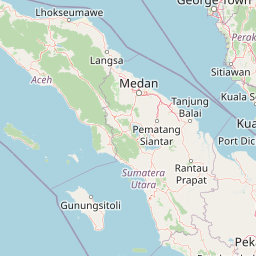
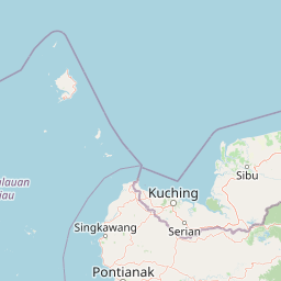
Distance Map Between Bidur and Takeo
Bidur, Ipoh, Malaysia ↔ Takeo, Cambodia = 532 miles = 856 km.
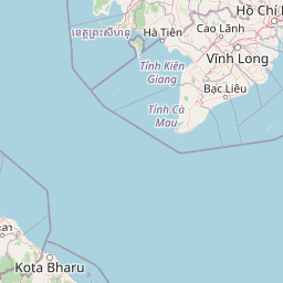


How far is it between Bidur and Takeo
Bidur is located in Malaysia with (4.1167,101.2833) coordinates and Takeo is located in Cambodia with (10.9908,104.785) coordinates. The calculated flying distance from Bidur to Takeo is equal to 532 miles which is equal to 856 km.
If you want to go by car, the driving distance between Bidur and Takeo is 2046.65 km. If you ride your car with an average speed of 112 kilometers/hour (70 miles/h), travel time will be 18 hours 16 minutes. Please check the avg. speed travel time table on the right for various options.
Difference between fly and go by a car is 1191 km.
| City/Place | Latitude and Longitude | GPS Coordinates |
|---|---|---|
| Bidur | 4.1167, 101.2833 | 4° 7´ 0.0120'' N 101° 16´ 59.9880'' E |
| Takeo | 10.9908, 104.785 | 10° 59´ 26.9160'' N 104° 47´ 5.9280'' E |
Estimated Travel Time Between Bidur and Takeo
| Average Speed | Travel Time |
|---|---|
| 30 mph (48 km/h) | 42 hours 38 minutes |
| 40 mph (64 km/h) | 31 hours 58 minutes |
| 50 mph (80 km/h) | 25 hours 34 minutes |
| 60 mph (97 km/h) | 21 hours 05 minutes |
| 70 mph (112 km/h) | 18 hours 16 minutes |
| 75 mph (120 km/h) | 17 hours 03 minutes |
Related Distances from Bidur
| Cities | Distance |
|---|---|
| Bidur to Takeo | 2047 km |
| Bidur to Phnom Penh | 2032 km |
Related Distances to Takeo
| Cities | Distance |
|---|---|
| Bahau to Takeo | 2307 km |
| Kuang to Takeo | 2162 km |
| Johor Bahru to Takeo | 2499 km |
| Subang Jaya to Takeo | 2182 km |
| Kampung Ayer Molek to Takeo | 2331 km |