Distance from Bilgram to Tanda
Distance between Bilgram and Tanda is 270 kilometers (168 miles).
Driving distance from Bilgram to Tanda is 316 kilometers (196 miles).
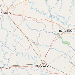
Distance Map Between Bilgram and Tanda
Bilgram, Lucknow, India ↔ Tanda, Lucknow, India = 168 miles = 270 km.


How far is it between Bilgrām and Tāndā
Bilgram is located in India with (27.175,80.0317) coordinates and Tanda is located in India with (26.5506,82.658) coordinates. The calculated flying distance from Bilgram to Tanda is equal to 168 miles which is equal to 270 km.
If you want to go by car, the driving distance between Bilgram and Tanda is 315.84 km. If you ride your car with an average speed of 112 kilometers/hour (70 miles/h), travel time will be 02 hours 49 minutes. Please check the avg. speed travel time table on the right for various options.
Difference between fly and go by a car is 46 km.
| City/Place | Latitude and Longitude | GPS Coordinates |
|---|---|---|
| Bilgram | 27.175, 80.0317 | 27° 10´ 30.1080'' N 80° 1´ 54.1920'' E |
| Tanda | 26.5506, 82.658 | 26° 33´ 2.2680'' N 82° 39´ 28.8720'' E |
Estimated Travel Time Between Bilgrām and Tāndā
| Average Speed | Travel Time |
|---|---|
| 30 mph (48 km/h) | 06 hours 34 minutes |
| 40 mph (64 km/h) | 04 hours 56 minutes |
| 50 mph (80 km/h) | 03 hours 56 minutes |
| 60 mph (97 km/h) | 03 hours 15 minutes |
| 70 mph (112 km/h) | 02 hours 49 minutes |
| 75 mph (120 km/h) | 02 hours 37 minutes |
Related Distances from Bilgram
| Cities | Distance |
|---|---|
| Bilgram to Hardoi | 29 km |
| Bilgram to Kanpur | 115 km |
| Bilgram to Kannauj | 34 km |
| Bilgram to Farrukhabad | 82 km |
| Bilgram to Shahjahanpur | 92 km |
Related Distances to Tanda
| Cities | Distance |
|---|---|
| Akbarpur to Tanda 2 | 19 km |
| Basti to Tanda 2 | 38 km |
| Sultanpur to Tanda 2 | 74 km |
| Ayodhya to Tanda 2 | 59 km |
| Gorakhpur 2 to Tanda 2 | 108 km |