Distance from Birigui to Cubatao
Distance between Birigui and Cubatao is 495 kilometers (308 miles).
Driving distance from Birigui to Cubatao is 578 kilometers (359 miles).
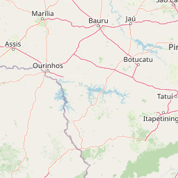
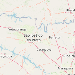
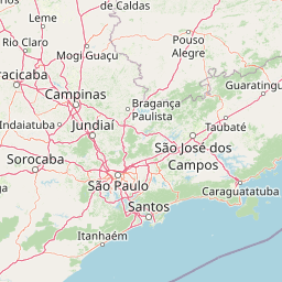
Distance Map Between Birigui and Cubatao
Birigui, Sao Paulo, Brazil ↔ Cubatao, Sao Paulo, Brazil = 308 miles = 495 km.


How far is it between Birigui and Cubatão
Birigui is located in Brazil with (-21.2886,-50.34) coordinates and Cubatao is located in Brazil with (-23.895,-46.4253) coordinates. The calculated flying distance from Birigui to Cubatao is equal to 308 miles which is equal to 495 km.
If you want to go by car, the driving distance between Birigui and Cubatao is 577.75 km. If you ride your car with an average speed of 112 kilometers/hour (70 miles/h), travel time will be 05 hours 09 minutes. Please check the avg. speed travel time table on the right for various options.
Difference between fly and go by a car is 83 km.
| City/Place | Latitude and Longitude | GPS Coordinates |
|---|---|---|
| Birigui | -21.2886, -50.34 | 21° 17´ 18.9960'' S 50° 20´ 24.0000'' W |
| Cubatao | -23.895, -46.4253 | 23° 53´ 42.0000'' S 46° 25´ 31.0080'' W |
Estimated Travel Time Between Birigui and Cubatão
| Average Speed | Travel Time |
|---|---|
| 30 mph (48 km/h) | 12 hours 02 minutes |
| 40 mph (64 km/h) | 09 hours 01 minutes |
| 50 mph (80 km/h) | 07 hours 13 minutes |
| 60 mph (97 km/h) | 05 hours 57 minutes |
| 70 mph (112 km/h) | 05 hours 09 minutes |
| 75 mph (120 km/h) | 04 hours 48 minutes |
Related Distances from Birigui
| Cities | Distance |
|---|---|
| Birigui to Ubatuba | 725 km |
| Birigui to Marilia | 145 km |
| Birigui to Maua | 567 km |
| Birigui to Sorocaba | 427 km |
| Birigui to Olimpia | 216 km |
Related Distances to Cubatao
| Cities | Distance |
|---|---|
| Bariri to Cubatao | 404 km |
| Cotia to Cubatao | 95 km |
| Caieiras to Cubatao | 118 km |
| Assis to Cubatao | 505 km |
| Barueri to Cubatao | 101 km |