Distance from Birkenhead to Worcester
Distance between Birkenhead and Worcester is 144 kilometers (90 miles).
Driving distance from Birkenhead to Worcester is 208 kilometers (129 miles).
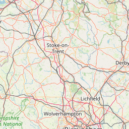
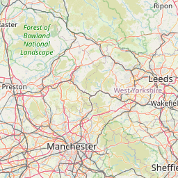
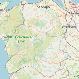
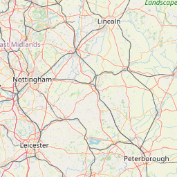
Distance Map Between Birkenhead and Worcester
Birkenhead, London, United Kingdom ↔ Worcester, London, United Kingdom = 90 miles = 144 km.


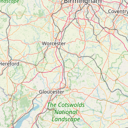


How far is it between Birkenhead and Worcester
Birkenhead is located in United Kingdom with (53.3934,-3.0148) coordinates and Worcester is located in United Kingdom with (52.1894,-2.22) coordinates. The calculated flying distance from Birkenhead to Worcester is equal to 90 miles which is equal to 144 km.
If you want to go by car, the driving distance between Birkenhead and Worcester is 207.67 km. If you ride your car with an average speed of 112 kilometers/hour (70 miles/h), travel time will be 01 hours 51 minutes. Please check the avg. speed travel time table on the right for various options.
Difference between fly and go by a car is 64 km.
| City/Place | Latitude and Longitude | GPS Coordinates |
|---|---|---|
| Birkenhead | 53.3934, -3.0148 | 53° 23´ 36.1320'' N 3° 0´ 53.2440'' W |
| Worcester | 52.1894, -2.22 | 52° 11´ 21.6600'' N 2° 13´ 12.0360'' W |
Estimated Travel Time Between Birkenhead and Worcester
| Average Speed | Travel Time |
|---|---|
| 30 mph (48 km/h) | 04 hours 19 minutes |
| 40 mph (64 km/h) | 03 hours 14 minutes |
| 50 mph (80 km/h) | 02 hours 35 minutes |
| 60 mph (97 km/h) | 02 hours 08 minutes |
| 70 mph (112 km/h) | 01 hours 51 minutes |
| 75 mph (120 km/h) | 01 hours 43 minutes |
Related Distances from Birkenhead
| Cities | Distance |
|---|---|
| Birkenhead to Liverpool | 5 km |
| Birkenhead to Birmingham | 170 km |
| Birkenhead to Manchester | 62 km |
| Birkenhead to Halifax 2 | 109 km |
| Birkenhead to Chester | 32 km |
Related Distances to Worcester
| Cities | Distance |
|---|---|
| Birmingham to Worcester 3 | 50 km |
| City Of London to Worcester 3 | 216 km |
| Gloucester to Worcester 3 | 46 km |
| Leicester to Worcester 3 | 116 km |
| Manchester to Worcester 3 | 178 km |