Distance from Blitar to Ngoro
Distance between Blitar and Ngoro is 47 kilometers (29 miles).
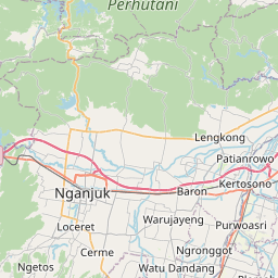
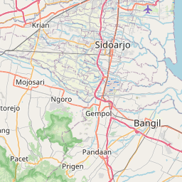
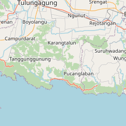
Driving distance from Blitar to Ngoro is 65 kilometers (41 miles).
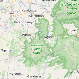
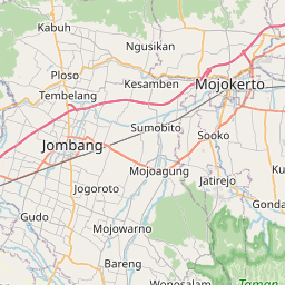
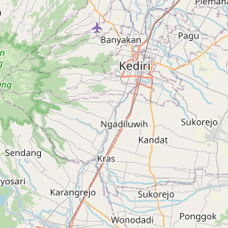
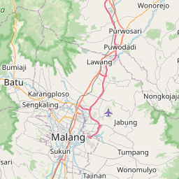
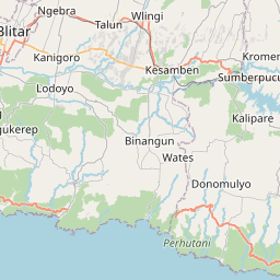
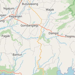
Distance Map Between Blitar and Ngoro
Blitar, Surabaya, Indonesia ↔ Ngoro, Surabaya, Indonesia = 29 miles = 47 km.

How far is it between Blitar and Ngoro
Blitar is located in Indonesia with (-8.0983,112.1681) coordinates and Ngoro is located in Indonesia with (-7.6839,112.258) coordinates. The calculated flying distance from Blitar to Ngoro is equal to 29 miles which is equal to 47 km.
If you want to go by car, the driving distance between Blitar and Ngoro is 65.28 km. If you ride your car with an average speed of 112 kilometers/hour (70 miles/h), travel time will be 00 hours 34 minutes. Please check the avg. speed travel time table on the right for various options.
Difference between fly and go by a car is 18 km.
| City/Place | Latitude and Longitude | GPS Coordinates |
|---|---|---|
| Blitar | -8.0983, 112.1681 | 8° 5´ 53.8800'' S 112° 10´ 5.1600'' E |
| Ngoro | -7.6839, 112.258 | 7° 41´ 1.8960'' S 112° 15´ 28.9440'' E |
Estimated Travel Time Between Blitar and Ngoro
| Average Speed | Travel Time |
|---|---|
| 30 mph (48 km/h) | 01 hours 21 minutes |
| 40 mph (64 km/h) | 01 hours 01 minutes |
| 50 mph (80 km/h) | 00 hours 48 minutes |
| 60 mph (97 km/h) | 00 hours 40 minutes |
| 70 mph (112 km/h) | 00 hours 34 minutes |
| 75 mph (120 km/h) | 00 hours 32 minutes |
Related Distances from Blitar
| Cities | Distance |
|---|---|
| Blitar to Tulungagung | 36 km |
| Blitar to Tuban | 166 km |
| Blitar to Lumajang | 162 km |
| Blitar to Jombang | 79 km |
| Blitar to Malang | 78 km |
Related Distances to Ngoro
| Cities | Distance |
|---|---|
| Kediri to Ngoro | 38 km |
| Mojokerto to Ngoro | 37 km |
| Mojoagung to Ngoro | 20 km |
| Jombang to Ngoro | 19 km |
| Malang to Ngoro | 77 km |