Distance from Bocsa to Rome
Distance between Bocsa and Rome is 835 kilometers (519 miles).
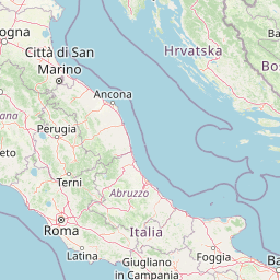
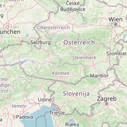
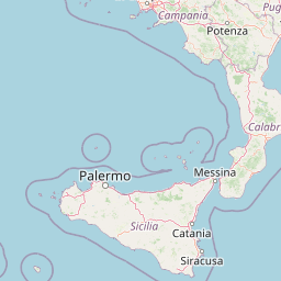
Distance Map Between Bocsa and Rome
Bocsa, Resita, Romania ↔ Rome, Italy = 519 miles = 835 km.


Leaflet | © OpenStreetMap
How far is it between Bocşa and Rome
Bocsa is located in Romania with (45.3733,21.7092) coordinates and Rome is located in Italy with (41.8919,12.5113) coordinates. The calculated flying distance from Bocsa to Rome is equal to 519 miles which is equal to 835 km.
| City/Place | Latitude and Longitude | GPS Coordinates |
|---|---|---|
| Bocsa | 45.3733, 21.7092 | 45° 22´ 23.9880'' N 21° 42´ 33.0120'' E |
| Rome | 41.8919, 12.5113 | 41° 53´ 30.9480'' N 12° 30´ 40.7880'' E |
Rome, Italy
Related Distances to Rome
| Cities | Distance |
|---|---|
| Bucharest to Rome | 1880 km |
| Alexandria 3 to Rome | 1786 km |
| Timisoara to Rome | 1521 km |
| Cluj Napoca to Rome | 1624 km |
| Iasi to Rome | 2071 km |