Distance from Bodaybo to Zima
Distance between Bodaybo and Zima is 873 kilometers (542 miles).
Driving distance from Bodaybo to Zima is 1356 kilometers (842 miles).
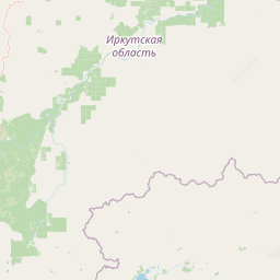
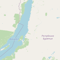
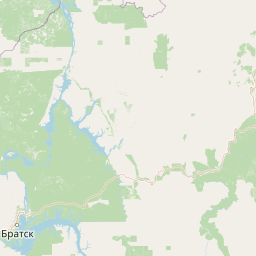
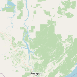
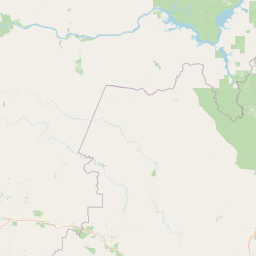
Distance Map Between Bodaybo and Zima
Bodaybo, Irkutsk, Russia ↔ Zima, Irkutsk, Russia = 542 miles = 873 km.


How far is it between Bodaybo and Zima
Bodaybo is located in Russia with (57.8506,114.1933) coordinates and Zima is located in Russia with (53.9202,102.0442) coordinates. The calculated flying distance from Bodaybo to Zima is equal to 542 miles which is equal to 873 km.
If you want to go by car, the driving distance between Bodaybo and Zima is 1355.67 km. If you ride your car with an average speed of 112 kilometers/hour (70 miles/h), travel time will be 12 hours 06 minutes. Please check the avg. speed travel time table on the right for various options.
Difference between fly and go by a car is 483 km.
| City/Place | Latitude and Longitude | GPS Coordinates |
|---|---|---|
| Bodaybo | 57.8506, 114.1933 | 57° 51´ 2.0160'' N 114° 11´ 35.9880'' E |
| Zima | 53.9202, 102.0442 | 53° 55´ 12.7200'' N 102° 2´ 39.1200'' E |
Estimated Travel Time Between Bodaybo and Zima
| Average Speed | Travel Time |
|---|---|
| 30 mph (48 km/h) | 28 hours 14 minutes |
| 40 mph (64 km/h) | 21 hours 10 minutes |
| 50 mph (80 km/h) | 16 hours 56 minutes |
| 60 mph (97 km/h) | 13 hours 58 minutes |
| 70 mph (112 km/h) | 12 hours 06 minutes |
| 75 mph (120 km/h) | 11 hours 17 minutes |
Related Distances from Bodaybo
| Cities | Distance |
|---|---|
| Bodaybo to Ust Kut | 966 km |
| Bodaybo to Usol Ye Sibirskoye | 1512 km |
| Bodaybo to Zima | 1356 km |
| Bodaybo to Zheleznogorsk Ilimskiy | 1119 km |
| Bodaybo to Tayshet | 1603 km |
Related Distances to Zima
| Cities | Distance |
|---|---|
| Ust Kut to Zima | 709 km |
| Tulun to Zima | 140 km |
| Baykal Sk to Zima | 399 km |
| Sayansk to Zima | 27 km |
| Slyudyanka to Zima | 362 km |