Distance from Bodegraven to City of London
Distance between Bodegraven and City of London is 339 kilometers (211 miles).
Distance Map Between Bodegraven and City of London
Bodegraven, , Netherlands ↔ City of London, London, United Kingdom = 211 miles = 339 km.


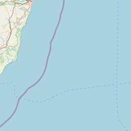
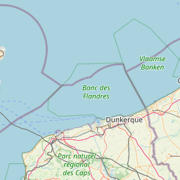

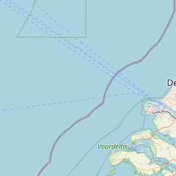
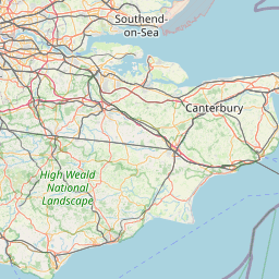

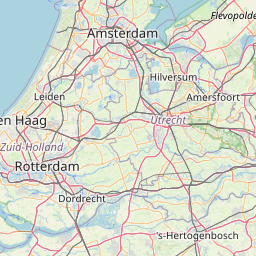
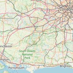

Leaflet | © OpenStreetMap
How far is it between Bodegraven and City of London
Bodegraven is located in Netherlands with (52.0825,4.75) coordinates and City of London is located in United Kingdom with (51.5128,-0.0918) coordinates. The calculated flying distance from Bodegraven to City of London is equal to 211 miles which is equal to 339 km.
| City/Place | Latitude and Longitude | GPS Coordinates |
|---|---|---|
| Bodegraven | 52.0825, 4.75 | 52° 4´ 57.0000'' N 4° 45´ 0.0000'' E |
| City of London | 51.5128, -0.0918 | 51° 30´ 46.0440'' N 0° 5´ 30.6240'' W |
Bodegraven, , Netherlands
Related Distances from Bodegraven
| Cities | Distance |
|---|---|
| Bodegraven to London | 503 km |
| Bodegraven to Birmingham | 714 km |
City of London, London, United Kingdom
Related Distances to City of London
| Cities | Distance |
|---|---|
| Amsterdam to City Of London | 543 km |
| Eindhoven to City Of London | 465 km |
| Aalsmeer to City Of London | 541 km |
| Drachten to City Of London | 653 km |
| Alphen Aan Den Rijn to City Of London | 509 km |