Distance from Bodegraven to Middelharnis
Distance between Bodegraven and Middelharnis is 54 kilometers (34 miles).
Driving distance from Bodegraven to Middelharnis is 79 kilometers (49 miles).
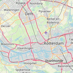
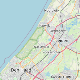
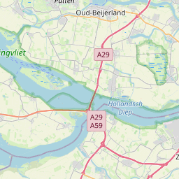
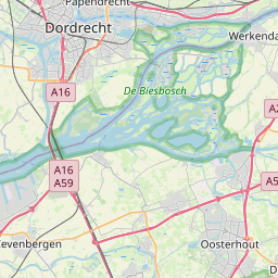
Distance Map Between Bodegraven and Middelharnis
Bodegraven, , Netherlands ↔ Middelharnis, , Netherlands = 34 miles = 54 km.

How far is it between Bodegraven and Middelharnis
Bodegraven is located in Netherlands with (52.0825,4.75) coordinates and Middelharnis is located in Netherlands with (51.7575,4.1653) coordinates. The calculated flying distance from Bodegraven to Middelharnis is equal to 34 miles which is equal to 54 km.
If you want to go by car, the driving distance between Bodegraven and Middelharnis is 78.86 km. If you ride your car with an average speed of 112 kilometers/hour (70 miles/h), travel time will be 00 hours 42 minutes. Please check the avg. speed travel time table on the right for various options.
Difference between fly and go by a car is 25 km.
| City/Place | Latitude and Longitude | GPS Coordinates |
|---|---|---|
| Bodegraven | 52.0825, 4.75 | 52° 4´ 57.0000'' N 4° 45´ 0.0000'' E |
| Middelharnis | 51.7575, 4.1653 | 51° 45´ 27.0000'' N 4° 9´ 55.0080'' E |
Estimated Travel Time Between Bodegraven and Middelharnis
| Average Speed | Travel Time |
|---|---|
| 30 mph (48 km/h) | 01 hours 38 minutes |
| 40 mph (64 km/h) | 01 hours 13 minutes |
| 50 mph (80 km/h) | 00 hours 59 minutes |
| 60 mph (97 km/h) | 00 hours 48 minutes |
| 70 mph (112 km/h) | 00 hours 42 minutes |
| 75 mph (120 km/h) | 00 hours 39 minutes |
Related Distances from Bodegraven
| Cities | Distance |
|---|---|
| Bodegraven to Rotterdam | 31 km |
| Bodegraven to Gouda | 12 km |
| Bodegraven to The Hague | 38 km |
| Bodegraven to Ridderkerk | 38 km |
| Bodegraven to Delft | 39 km |
Related Distances to Middelharnis
| Cities | Distance |
|---|---|
| Berkel En Rodenrijs to Middelharnis | 63 km |
| Katwijk Aan Zee to Middelharnis | 99 km |
| Delft to Middelharnis | 69 km |
| Ypenburg to Middelharnis | 75 km |
| Hendrik Ido Ambacht to Middelharnis | 55 km |