Distance from Boghni to Freha
Distance between Boghni and Freha is 40 kilometers (25 miles).
Driving distance from Boghni to Freha is 65 kilometers (40 miles).
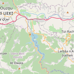
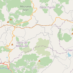
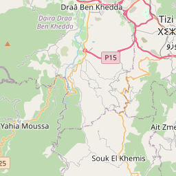
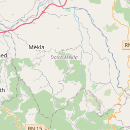
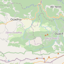
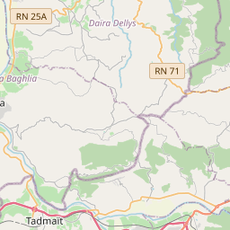
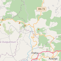
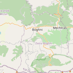
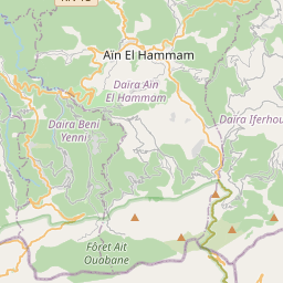
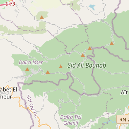
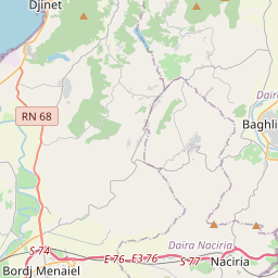
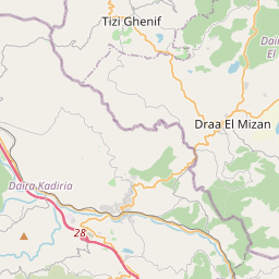
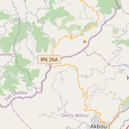
Distance Map Between Boghni and Freha
Boghni, Tizi Ouzou, Algeria ↔ Freha, Tizi Ouzou, Algeria = 25 miles = 40 km.


How far is it between Boghni and Freha
Boghni is located in Algeria with (36.5422,3.9531) coordinates and Freha is located in Algeria with (36.7523,4.3155) coordinates. The calculated flying distance from Boghni to Freha is equal to 25 miles which is equal to 40 km.
If you want to go by car, the driving distance between Boghni and Freha is 65.03 km. If you ride your car with an average speed of 112 kilometers/hour (70 miles/h), travel time will be 00 hours 34 minutes. Please check the avg. speed travel time table on the right for various options.
Difference between fly and go by a car is 25 km.
| City/Place | Latitude and Longitude | GPS Coordinates |
|---|---|---|
| Boghni | 36.5422, 3.9531 | 36° 32´ 31.9920'' N 3° 57´ 11.0160'' E |
| Freha | 36.7523, 4.3155 | 36° 45´ 8.4240'' N 4° 18´ 55.8000'' E |
Estimated Travel Time Between Boghni and Freha
| Average Speed | Travel Time |
|---|---|
| 30 mph (48 km/h) | 01 hours 21 minutes |
| 40 mph (64 km/h) | 01 hours 00 minutes |
| 50 mph (80 km/h) | 00 hours 48 minutes |
| 60 mph (97 km/h) | 00 hours 40 minutes |
| 70 mph (112 km/h) | 00 hours 34 minutes |
| 75 mph (120 km/h) | 00 hours 32 minutes |
Related Distances from Boghni
| Cities | Distance |
|---|---|
| Boghni to Mekla | 60 km |
| Boghni to Tirmitine | 24 km |
| Boghni to Tizi N Tleta | 12 km |
| Boghni to Tizi Rached | 56 km |
| Boghni to Freha | 65 km |
Related Distances to Freha
| Cities | Distance |
|---|---|
| Azazga to Freha | 14 km |
| Chemini to Freha | 60 km |
| Ain El Hammam to Freha | 44 km |
| Boudjima to Freha | 34 km |
| Boghni to Freha | 65 km |