Distance from Bolotnoye to Karagandy
Distance between Bolotnoye and Karagandy is 994 kilometers (618 miles).
Driving distance from Bolotnoye to Karagandy is 1193 kilometers (741 miles).
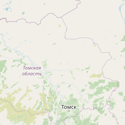
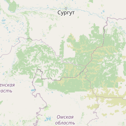
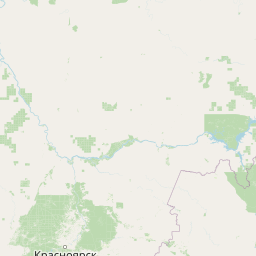
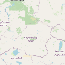
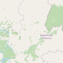
Distance Map Between Bolotnoye and Karagandy
Bolotnoye, Novosibirsk, Russia ↔ Karagandy, Kazakhstan = 618 miles = 994 km.


How far is it between Bolotnoye and Karagandy
Bolotnoye is located in Russia with (55.6717,84.3981) coordinates and Karagandy is located in Kazakhstan with (49.8333,73.1658) coordinates. The calculated flying distance from Bolotnoye to Karagandy is equal to 618 miles which is equal to 994 km.
If you want to go by car, the driving distance between Bolotnoye and Karagandy is 1192.55 km. If you ride your car with an average speed of 112 kilometers/hour (70 miles/h), travel time will be 10 hours 38 minutes. Please check the avg. speed travel time table on the right for various options.
Difference between fly and go by a car is 199 km.
| City/Place | Latitude and Longitude | GPS Coordinates |
|---|---|---|
| Bolotnoye | 55.6717, 84.3981 | 55° 40´ 18.0120'' N 84° 23´ 53.0160'' E |
| Karagandy | 49.8333, 73.1658 | 49° 49´ 59.9880'' N 73° 9´ 56.8800'' E |
Estimated Travel Time Between Bolotnoye and Karagandy
| Average Speed | Travel Time |
|---|---|
| 30 mph (48 km/h) | 24 hours 50 minutes |
| 40 mph (64 km/h) | 18 hours 38 minutes |
| 50 mph (80 km/h) | 14 hours 54 minutes |
| 60 mph (97 km/h) | 12 hours 17 minutes |
| 70 mph (112 km/h) | 10 hours 38 minutes |
| 75 mph (120 km/h) | 09 hours 56 minutes |
Related Distances from Bolotnoye
| Cities | Distance |
|---|---|
| Bolotnoye to Taraz | 2283 km |
| Bolotnoye to Semey | 810 km |
| Bolotnoye to Pavlodar | 722 km |
| Bolotnoye to Karagandy | 1193 km |
| Bolotnoye to Astana | 1197 km |
Related Distances to Karagandy
| Cities | Distance |
|---|---|
| Ufa to Karagandy | 1609 km |
| Lys Va to Karagandy | 1711 km |
| Khanty Mansiysk to Karagandy | 1646 km |
| Tomsk to Karagandy | 1312 km |
| Izhevsk to Karagandy | 1993 km |