Distance from Bongor to Aba
Distance between Bongor and Aba is 1053 kilometers (654 miles).
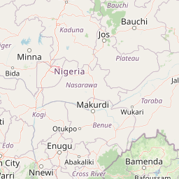
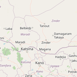
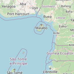
Distance Map Between Bongor and Aba
Bongor, Chad ↔ Aba, Umuahia, Nigeria = 654 miles = 1053 km.


Leaflet | © OpenStreetMap
How far is it between Bongor and Aba
Bongor is located in Chad with (10.2806,15.3722) coordinates and Aba is located in Nigeria with (5.1066,7.3667) coordinates. The calculated flying distance from Bongor to Aba is equal to 654 miles which is equal to 1053 km.
| City/Place | Latitude and Longitude | GPS Coordinates |
|---|---|---|
| Bongor | 10.2806, 15.3722 | 10° 16´ 50.0160'' N 15° 22´ 19.9920'' E |
| Aba | 5.1066, 7.3667 | 5° 6´ 23.6880'' N 7° 22´ 0.0120'' E |
Bongor, Chad
Related Distances from Bongor
| Cities | Distance |
|---|---|
| Bongor to Maiduguri | 486 km |
| Bongor to Lagos | 2192 km |
| Bongor to Zaria | 1228 km |
| Bongor to Kaduna | 1296 km |
| Bongor to Benin City | 1881 km |
Aba, Umuahia, Nigeria
Related Distances to Aba
| Cities | Distance |
|---|---|
| Mongo to Aba | 2094 km |
| Doba to Aba | 1619 km |
| Pala to Aba | 1390 km |
| N Djamena to Abakaliki | 1223 km |
| Lai to Aba | 1636 km |