Distance from Bonn to Stolberg
Distance between Bonn and Stolberg is 61 kilometers (38 miles).
Driving distance from Bonn to Stolberg is 85 kilometers (53 miles).
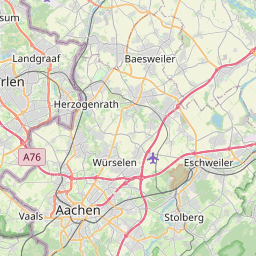
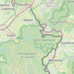
Distance Map Between Bonn and Stolberg
Bonn, Dusseldorf, Germany ↔ Stolberg, Dusseldorf, Germany = 38 miles = 61 km.


How far is it between Bonn and Stolberg
Bonn is located in Germany with (50.7344,7.0955) coordinates and Stolberg is located in Germany with (50.7737,6.226) coordinates. The calculated flying distance from Bonn to Stolberg is equal to 38 miles which is equal to 61 km.
If you want to go by car, the driving distance between Bonn and Stolberg is 85.26 km. If you ride your car with an average speed of 112 kilometers/hour (70 miles/h), travel time will be 00 hours 45 minutes. Please check the avg. speed travel time table on the right for various options.
Difference between fly and go by a car is 24 km.
| City/Place | Latitude and Longitude | GPS Coordinates |
|---|---|---|
| Bonn | 50.7344, 7.0955 | 50° 44´ 3.7680'' N 7° 5´ 43.7640'' E |
| Stolberg | 50.7737, 6.226 | 50° 46´ 25.2480'' N 6° 13´ 33.4200'' E |
Estimated Travel Time Between Bonn and Stolberg
| Average Speed | Travel Time |
|---|---|
| 30 mph (48 km/h) | 01 hours 46 minutes |
| 40 mph (64 km/h) | 01 hours 19 minutes |
| 50 mph (80 km/h) | 01 hours 03 minutes |
| 60 mph (97 km/h) | 00 hours 52 minutes |
| 70 mph (112 km/h) | 00 hours 45 minutes |
| 75 mph (120 km/h) | 00 hours 42 minutes |
Related Distances from Bonn
| Cities | Distance |
|---|---|
| Bonn to Koeln | 35 km |
| Bonn to Dortmund | 118 km |
| Bonn to Siegburg | 15 km |
| Bonn to Essen | 96 km |
| Bonn to Muenster | 172 km |
Related Distances to Stolberg
| Cities | Distance |
|---|---|
| Aachen to Stolberg | 13 km |
| Koeln to Stolberg | 65 km |
| Borken to Stolberg | 177 km |
| Frechen to Stolberg | 54 km |
| Bad Salzuflen to Stolberg | 260 km |