Distance from Boo to Berlin
Distance between Boo and Berlin is 815 kilometers (507 miles).
Driving distance from Boo to Berlin is 1093 kilometers (679 miles).
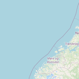
Distance Map Between Boo and Berlin
Boo, Stockholm, Sweden ↔ Berlin, Germany = 507 miles = 815 km.


How far is it between Boo and Berlin
Boo is located in Sweden with (59.3333,18.2833) coordinates and Berlin is located in Germany with (52.5244,13.4105) coordinates. The calculated flying distance from Boo to Berlin is equal to 507 miles which is equal to 815 km.
If you want to go by car, the driving distance between Boo and Berlin is 1093.1 km. If you ride your car with an average speed of 112 kilometers/hour (70 miles/h), travel time will be 09 hours 45 minutes. Please check the avg. speed travel time table on the right for various options.
Difference between fly and go by a car is 278 km.
| City/Place | Latitude and Longitude | GPS Coordinates |
|---|---|---|
| Boo | 59.3333, 18.2833 | 59° 19´ 59.9880'' N 18° 16´ 59.9880'' E |
| Berlin | 52.5244, 13.4105 | 52° 31´ 27.7320'' N 13° 24´ 37.9080'' E |
Estimated Travel Time Between Boo and Berlin
| Average Speed | Travel Time |
|---|---|
| 30 mph (48 km/h) | 22 hours 46 minutes |
| 40 mph (64 km/h) | 17 hours 04 minutes |
| 50 mph (80 km/h) | 13 hours 39 minutes |
| 60 mph (97 km/h) | 11 hours 16 minutes |
| 70 mph (112 km/h) | 09 hours 45 minutes |
| 75 mph (120 km/h) | 09 hours 06 minutes |
Related Distances to Berlin
| Cities | Distance |
|---|---|
| Stockholm to Berlin | 1084 km |
| Lund to Berlin | 491 km |
| Malmoe to Berlin | 468 km |
| Helsingborg to Berlin | 535 km |
| Falkenberg to Berlin | 645 km |