Distance from Booval to Rockhampton
Distance between Booval and Rockhampton is 523 kilometers (325 miles).
Driving distance from Booval to Rockhampton is 650 kilometers (404 miles).
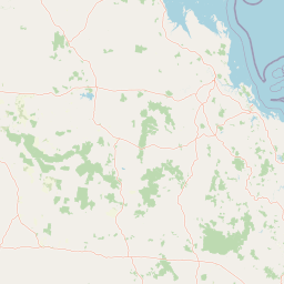
Distance Map Between Booval and Rockhampton
Booval, Brisbane, Australia ↔ Rockhampton, Brisbane, Australia = 325 miles = 523 km.

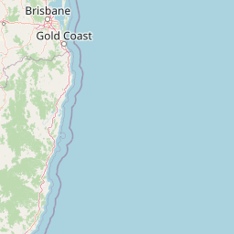

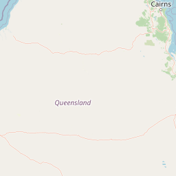


How far is it between Booval and Rockhampton
Booval is located in Australia with (-27.6133,152.7894) coordinates and Rockhampton is located in Australia with (-23.3803,150.506) coordinates. The calculated flying distance from Booval to Rockhampton is equal to 325 miles which is equal to 523 km.
If you want to go by car, the driving distance between Booval and Rockhampton is 649.79 km. If you ride your car with an average speed of 112 kilometers/hour (70 miles/h), travel time will be 05 hours 48 minutes. Please check the avg. speed travel time table on the right for various options.
Difference between fly and go by a car is 127 km.
| City/Place | Latitude and Longitude | GPS Coordinates |
|---|---|---|
| Booval | -27.6133, 152.7894 | 27° 36´ 47.8080'' S 152° 47´ 21.9840'' E |
| Rockhampton | -23.3803, 150.506 | 23° 22´ 49.1520'' S 150° 30´ 21.4200'' E |
Estimated Travel Time Between Booval and Rockhampton
| Average Speed | Travel Time |
|---|---|
| 30 mph (48 km/h) | 13 hours 32 minutes |
| 40 mph (64 km/h) | 10 hours 09 minutes |
| 50 mph (80 km/h) | 08 hours 07 minutes |
| 60 mph (97 km/h) | 06 hours 41 minutes |
| 70 mph (112 km/h) | 05 hours 48 minutes |
| 75 mph (120 km/h) | 05 hours 24 minutes |
Related Distances from Booval
| Cities | Distance |
|---|---|
| Booval to Bracken Ridge | 54 km |
| Booval to Cairns | 1715 km |
| Booval to Rockhampton | 650 km |
| Booval to Morayfield | 78 km |
| Booval to Toowoomba | 93 km |
Related Distances to Rockhampton
| Cities | Distance |
|---|---|
| Mackay to Rockhampton | 333 km |
| Gladstone to Rockhampton | 109 km |
| Bundaberg to Rockhampton | 287 km |
| Cairns to Rockhampton | 1070 km |
| Maryborough to Rockhampton | 384 km |