Distance from Bottrop to Muenster
Distance between Bottrop and Muenster is 68 kilometers (43 miles).
Driving distance from Bottrop to Muenster is 82 kilometers (51 miles).
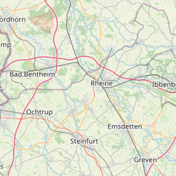
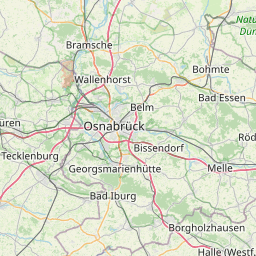
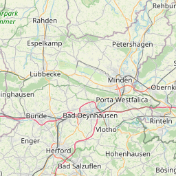
Distance Map Between Bottrop and Muenster
Bottrop, Dusseldorf, Germany ↔ Muenster, Dusseldorf, Germany = 43 miles = 68 km.


How far is it between Bottrop and Münster
Bottrop is located in Germany with (51.5239,6.9285) coordinates and Muenster is located in Germany with (51.9624,7.6257) coordinates. The calculated flying distance from Bottrop to Muenster is equal to 43 miles which is equal to 68 km.
If you want to go by car, the driving distance between Bottrop and Muenster is 81.8 km. If you ride your car with an average speed of 112 kilometers/hour (70 miles/h), travel time will be 00 hours 43 minutes. Please check the avg. speed travel time table on the right for various options.
Difference between fly and go by a car is 14 km.
| City/Place | Latitude and Longitude | GPS Coordinates |
|---|---|---|
| Bottrop | 51.5239, 6.9285 | 51° 31´ 26.1120'' N 6° 55´ 42.6000'' E |
| Muenster | 51.9624, 7.6257 | 51° 57´ 44.4960'' N 7° 37´ 32.5560'' E |
Estimated Travel Time Between Bottrop and Münster
| Average Speed | Travel Time |
|---|---|
| 30 mph (48 km/h) | 01 hours 42 minutes |
| 40 mph (64 km/h) | 01 hours 16 minutes |
| 50 mph (80 km/h) | 01 hours 01 minutes |
| 60 mph (97 km/h) | 00 hours 50 minutes |
| 70 mph (112 km/h) | 00 hours 43 minutes |
| 75 mph (120 km/h) | 00 hours 40 minutes |
Related Distances from Bottrop
| Cities | Distance |
|---|---|
| Bottrop to Bad Laasphe | 183 km |
| Bottrop to Brakel | 190 km |
| Bottrop to Brilon | 143 km |
| Bottrop to Bruhl | 100 km |
| Bottrop to Buende | 173 km |
| Bottrop to Burscheid | 74 km |
| Bottrop to Castrop Rauxel | 32 km |
| Bottrop to Datteln | 43 km |
| Bottrop to Delbruck | 136 km |
| Bottrop to Detmold | 163 km |
Related Distances to Muenster
| Cities | Distance |
|---|---|
| Bad Oeynhausen to Muenster | 113 km |
| Bad Driburg to Muenster | 163 km |
| Lippstadt to Muenster | 97 km |
| Coesfeld to Muenster | 45 km |
| Guetersloh to Muenster | 60 km |
| Detmold to Muenster | 149 km |
| Delbruck to Muenster | 121 km |
| Alsdorf to Muenster | 208 km |
| Herford to Muenster | 109 km |
| Dortmund to Muenster | 69 km |