Distance from Bouira to Mila
Distance between Bouira and Mila is 212 kilometers (131 miles).
Driving distance from Bouira to Mila is 270 kilometers (168 miles).
Distance Map Between Bouira and Mila
Bouira, Algeria ↔ Mila, Algeria = 131 miles = 212 km.
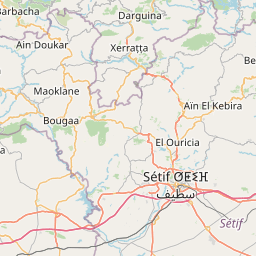
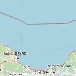
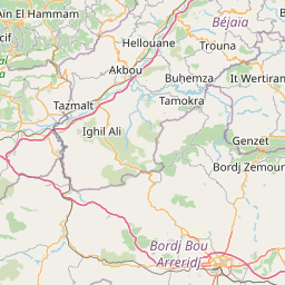
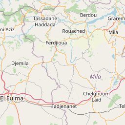


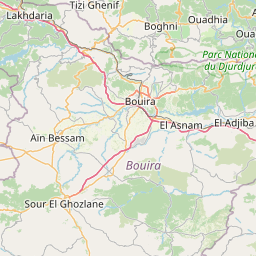
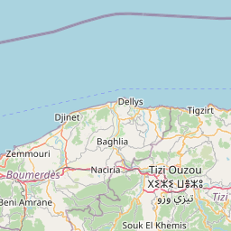
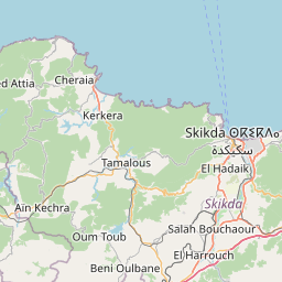


Leaflet | © OpenStreetMap
How far is it between Bouïra and Mila
Bouira is located in Algeria with (36.3749,3.902) coordinates and Mila is located in Algeria with (36.4503,6.2644) coordinates. The calculated flying distance from Bouira to Mila is equal to 131 miles which is equal to 212 km.
If you want to go by car, the driving distance between Bouira and Mila is 270.18 km. If you ride your car with an average speed of 112 kilometers/hour (70 miles/h), travel time will be 02 hours 24 minutes. Please check the avg. speed travel time table on the right for various options.
Difference between fly and go by a car is 58 km.
| City/Place | Latitude and Longitude | GPS Coordinates |
|---|---|---|
| Bouira | 36.3749, 3.902 | 36° 22´ 29.6040'' N 3° 54´ 7.2000'' E |
| Mila | 36.4503, 6.2644 | 36° 27´ 1.0080'' N 6° 15´ 51.9840'' E |
Estimated Travel Time Between Bouïra and Mila
| Average Speed | Travel Time |
|---|---|
| 30 mph (48 km/h) | 05 hours 37 minutes |
| 40 mph (64 km/h) | 04 hours 13 minutes |
| 50 mph (80 km/h) | 03 hours 22 minutes |
| 60 mph (97 km/h) | 02 hours 47 minutes |
| 70 mph (112 km/h) | 02 hours 24 minutes |
| 75 mph (120 km/h) | 02 hours 15 minutes |
Bouira, Algeria
Related Distances from Bouira
| Cities | Distance |
|---|---|
| Bouira to M Sila | 130 km |
| Bouira to Oran | 504 km |
| Bouira to Tizi Ouzou | 77 km |
| Bouira to Jijel | 294 km |
| Bouira to Tamanrasset | 1914 km |
Mila, Algeria
Related Distances to Mila
| Cities | Distance |
|---|---|
| Jijel to Mila | 99 km |
| Constantine to Mila | 51 km |
| Algiers to Mila | 393 km |
| Guelma to Mila | 160 km |
| Djelfa to Mila | 425 km |