Distance from Bountiful to Cedar City
Distance between Bountiful and Cedar City is 371 kilometers (231 miles).
Driving distance from Bountiful to Cedar City is 420 kilometers (261 miles).
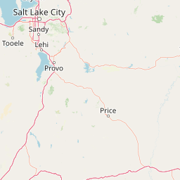
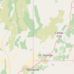
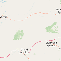
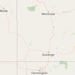
Distance Map Between Bountiful and Cedar City
Bountiful, Salt Lake City, United States ↔ Cedar City, Salt Lake City, United States = 231 miles = 371 km.


How far is it between Bountiful and Cedar City
Bountiful is located in United States with (40.8894,-111.8808) coordinates and Cedar City is located in United States with (37.6775,-113.0619) coordinates. The calculated flying distance from Bountiful to Cedar City is equal to 231 miles which is equal to 371 km.
If you want to go by car, the driving distance between Bountiful and Cedar City is 420.23 km. If you ride your car with an average speed of 112 kilometers/hour (70 miles/h), travel time will be 03 hours 45 minutes. Please check the avg. speed travel time table on the right for various options.
Difference between fly and go by a car is 49 km.
| City/Place | Latitude and Longitude | GPS Coordinates |
|---|---|---|
| Bountiful | 40.8894, -111.8808 | 40° 53´ 21.8040'' N 111° 52´ 50.7720'' W |
| Cedar City | 37.6775, -113.0619 | 37° 40´ 38.9280'' N 113° 3´ 42.8040'' W |
Estimated Travel Time Between Bountiful and Cedar City
| Average Speed | Travel Time |
|---|---|
| 30 mph (48 km/h) | 08 hours 45 minutes |
| 40 mph (64 km/h) | 06 hours 33 minutes |
| 50 mph (80 km/h) | 05 hours 15 minutes |
| 60 mph (97 km/h) | 04 hours 19 minutes |
| 70 mph (112 km/h) | 03 hours 45 minutes |
| 75 mph (120 km/h) | 03 hours 30 minutes |
Related Distances from Bountiful
| Cities | Distance |
|---|---|
| Bountiful to Brigham City | 79 km |
| Bountiful to Saint George | 501 km |
| Bountiful to Centerville 2 | 4 km |
| Bountiful to Cedar City | 420 km |
| Bountiful to Washington 2 | 495 km |
Related Distances to Cedar City
| Cities | Distance |
|---|---|
| Saint George to Cedar City | 84 km |
| Provo to Cedar City | 336 km |
| Orem to Cedar City | 347 km |
| Lehi to Cedar City | 360 km |
| Layton to Cedar City | 441 km |