Distance from Boyolangu to Ngoro
Distance between Boyolangu and Ngoro is 63 kilometers (39 miles).
Driving distance from Boyolangu to Ngoro is 75 kilometers (47 miles).
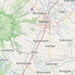
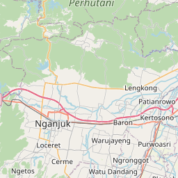
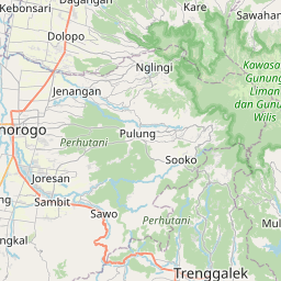
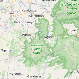
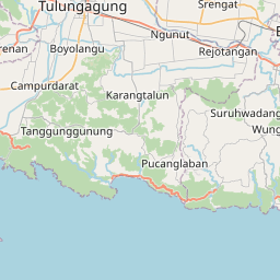
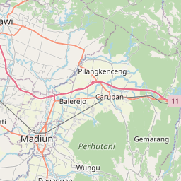
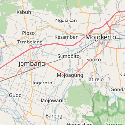
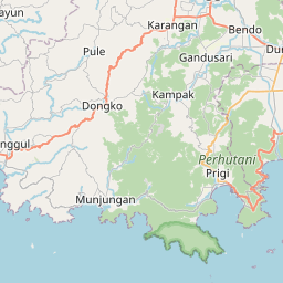
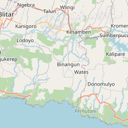
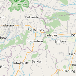
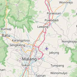
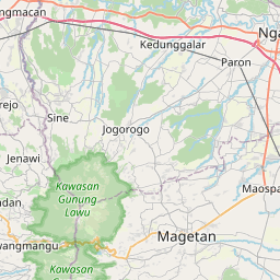
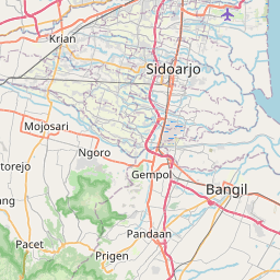
Distance Map Between Boyolangu and Ngoro
Boyolangu, Surabaya, Indonesia ↔ Ngoro, Surabaya, Indonesia = 39 miles = 63 km.

How far is it between Boyolangu and Ngoro
Boyolangu is located in Indonesia with (-8.1181,111.8935) coordinates and Ngoro is located in Indonesia with (-7.6839,112.258) coordinates. The calculated flying distance from Boyolangu to Ngoro is equal to 39 miles which is equal to 63 km.
If you want to go by car, the driving distance between Boyolangu and Ngoro is 75.13 km. If you ride your car with an average speed of 112 kilometers/hour (70 miles/h), travel time will be 00 hours 40 minutes. Please check the avg. speed travel time table on the right for various options.
Difference between fly and go by a car is 12 km.
| City/Place | Latitude and Longitude | GPS Coordinates |
|---|---|---|
| Boyolangu | -8.1181, 111.8935 | 8° 7´ 5.1600'' S 111° 53´ 36.6000'' E |
| Ngoro | -7.6839, 112.258 | 7° 41´ 1.8960'' S 112° 15´ 28.9440'' E |
Estimated Travel Time Between Boyolangu and Ngoro
| Average Speed | Travel Time |
|---|---|
| 30 mph (48 km/h) | 01 hours 33 minutes |
| 40 mph (64 km/h) | 01 hours 10 minutes |
| 50 mph (80 km/h) | 00 hours 56 minutes |
| 60 mph (97 km/h) | 00 hours 46 minutes |
| 70 mph (112 km/h) | 00 hours 40 minutes |
| 75 mph (120 km/h) | 00 hours 37 minutes |
Related Distances from Boyolangu
| Cities | Distance |
|---|---|
| Boyolangu to Diwek | 80 km |
| Boyolangu to Kediri | 38 km |
| Boyolangu to Tulangan Utara | 139 km |
| Boyolangu to Trenggalek | 26 km |
| Boyolangu to Tuban | 163 km |
Related Distances to Ngoro
| Cities | Distance |
|---|---|
| Kediri to Ngoro | 38 km |
| Mojokerto to Ngoro | 37 km |
| Mojoagung to Ngoro | 20 km |
| Jombang to Ngoro | 19 km |
| Malang to Ngoro | 77 km |