Distance from Brandon to Bartow
Distance between Brandon and Bartow is 44 kilometers (27 miles).
Driving distance from Brandon to Bartow is 47 kilometers (29 miles).
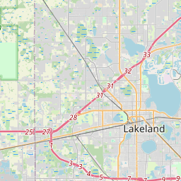
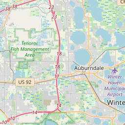
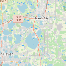
Distance Map Between Brandon and Bartow
Brandon, Tallahassee, United States ↔ Bartow, Tallahassee, United States = 27 miles = 44 km.


How far is it between Brandon and Bartow
Brandon is located in United States with (27.9378,-82.2859) coordinates and Bartow is located in United States with (27.8964,-81.8431) coordinates. The calculated flying distance from Brandon to Bartow is equal to 27 miles which is equal to 44 km.
If you want to go by car, the driving distance between Brandon and Bartow is 46.93 km. If you ride your car with an average speed of 112 kilometers/hour (70 miles/h), travel time will be 00 hours 25 minutes. Please check the avg. speed travel time table on the right for various options.
Difference between fly and go by a car is 3 km.
| City/Place | Latitude and Longitude | GPS Coordinates |
|---|---|---|
| Brandon | 27.9378, -82.2859 | 27° 56´ 16.0800'' N 82° 17´ 9.3120'' W |
| Bartow | 27.8964, -81.8431 | 27° 53´ 47.0760'' N 81° 50´ 35.3040'' W |
Estimated Travel Time Between Brandon and Bartow
| Average Speed | Travel Time |
|---|---|
| 30 mph (48 km/h) | 00 hours 58 minutes |
| 40 mph (64 km/h) | 00 hours 43 minutes |
| 50 mph (80 km/h) | 00 hours 35 minutes |
| 60 mph (97 km/h) | 00 hours 29 minutes |
| 70 mph (112 km/h) | 00 hours 25 minutes |
| 75 mph (120 km/h) | 00 hours 23 minutes |
Related Distances from Brandon
| Cities | Distance |
|---|---|
| Brandon to Bradenton | 65 km |
| Brandon to Bartow | 47 km |
| Brandon to Bloomingdale | 8 km |
| Brandon to Bonita Springs | 237 km |
| Brandon to Boca Raton | 341 km |
Related Distances to Bartow
| Cities | Distance |
|---|---|
| Lakeland to Bartow | 20 km |
| Tampa to Bartow | 74 km |
| Winter Haven to Bartow | 19 km |
| Wesley Chapel to Bartow | 76 km |
| Plant City to Bartow | 38 km |