Distance from Brasschaat to Geel
Distance between Brasschaat and Geel is 37 kilometers (23 miles).
Driving distance from Brasschaat to Geel is 55 kilometers (34 miles).
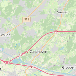
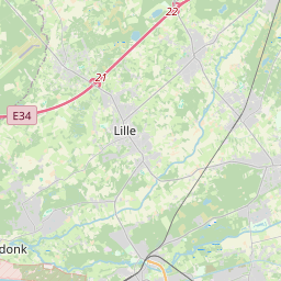
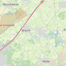
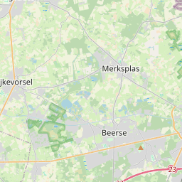
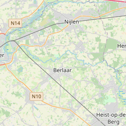
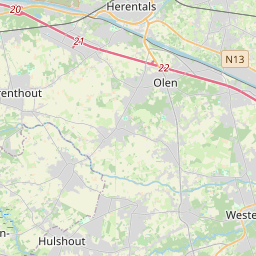
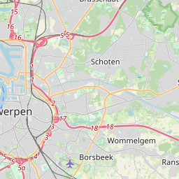
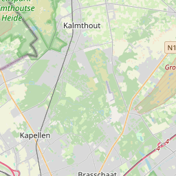
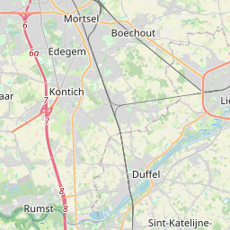
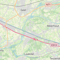
Distance Map Between Brasschaat and Geel
Brasschaat, , Belgium ↔ Geel, , Belgium = 23 miles = 37 km.


How far is it between Brasschaat and Geel
Brasschaat is located in Belgium with (51.2912,4.4918) coordinates and Geel is located in Belgium with (51.1656,4.9892) coordinates. The calculated flying distance from Brasschaat to Geel is equal to 23 miles which is equal to 37 km.
If you want to go by car, the driving distance between Brasschaat and Geel is 55.36 km. If you ride your car with an average speed of 112 kilometers/hour (70 miles/h), travel time will be 00 hours 29 minutes. Please check the avg. speed travel time table on the right for various options.
Difference between fly and go by a car is 18 km.
| City/Place | Latitude and Longitude | GPS Coordinates |
|---|---|---|
| Brasschaat | 51.2912, 4.4918 | 51° 17´ 28.3200'' N 4° 29´ 30.5520'' E |
| Geel | 51.1656, 4.9892 | 51° 9´ 56.0520'' N 4° 59´ 21.0120'' E |
Estimated Travel Time Between Brasschaat and Geel
| Average Speed | Travel Time |
|---|---|
| 30 mph (48 km/h) | 01 hours 09 minutes |
| 40 mph (64 km/h) | 00 hours 51 minutes |
| 50 mph (80 km/h) | 00 hours 41 minutes |
| 60 mph (97 km/h) | 00 hours 34 minutes |
| 70 mph (112 km/h) | 00 hours 29 minutes |
| 75 mph (120 km/h) | 00 hours 27 minutes |
Related Distances from Brasschaat
| Cities | Distance |
|---|---|
| Brasschaat to Herentals | 41 km |
| Brasschaat to Schilde | 10 km |
| Brasschaat to Duffel | 34 km |
| Brasschaat to Schoten | 7 km |
| Brasschaat to Leuven | 76 km |
Related Distances to Geel
| Cities | Distance |
|---|---|
| Antwerpen to Geel | 49 km |
| Beerse to Geel | 27 km |
| Beveren to Geel | 62 km |
| Balen to Geel | 14 km |
| Aalst to Geel | 117 km |