Distance from Brasschaat to Harelbeke
Distance between Brasschaat and Harelbeke is 96 kilometers (60 miles).
Driving distance from Brasschaat to Harelbeke is 110 kilometers (68 miles).
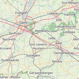
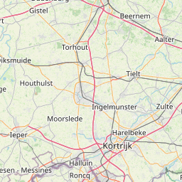
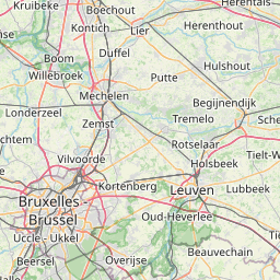
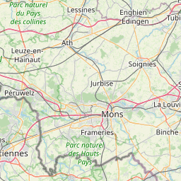
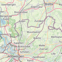
Distance Map Between Brasschaat and Harelbeke
Brasschaat, , Belgium ↔ Harelbeke, , Belgium = 60 miles = 96 km.


How far is it between Brasschaat and Harelbeke
Brasschaat is located in Belgium with (51.2912,4.4918) coordinates and Harelbeke is located in Belgium with (50.8534,3.3094) coordinates. The calculated flying distance from Brasschaat to Harelbeke is equal to 60 miles which is equal to 96 km.
If you want to go by car, the driving distance between Brasschaat and Harelbeke is 109.73 km. If you ride your car with an average speed of 112 kilometers/hour (70 miles/h), travel time will be 00 hours 58 minutes. Please check the avg. speed travel time table on the right for various options.
Difference between fly and go by a car is 14 km.
| City/Place | Latitude and Longitude | GPS Coordinates |
|---|---|---|
| Brasschaat | 51.2912, 4.4918 | 51° 17´ 28.3200'' N 4° 29´ 30.5520'' E |
| Harelbeke | 50.8534, 3.3094 | 50° 51´ 12.3480'' N 3° 18´ 33.6600'' E |
Estimated Travel Time Between Brasschaat and Harelbeke
| Average Speed | Travel Time |
|---|---|
| 30 mph (48 km/h) | 02 hours 17 minutes |
| 40 mph (64 km/h) | 01 hours 42 minutes |
| 50 mph (80 km/h) | 01 hours 22 minutes |
| 60 mph (97 km/h) | 01 hours 07 minutes |
| 70 mph (112 km/h) | 00 hours 58 minutes |
| 75 mph (120 km/h) | 00 hours 54 minutes |
Related Distances from Brasschaat
| Cities | Distance |
|---|---|
| Brasschaat to Herentals | 41 km |
| Brasschaat to Schilde | 10 km |
| Brasschaat to Duffel | 34 km |
| Brasschaat to Schoten | 7 km |
| Brasschaat to Leuven | 76 km |
Related Distances to Harelbeke
| Cities | Distance |
|---|---|
| Aalter to Harelbeke | 60 km |
| Dendermonde to Harelbeke | 72 km |
| Antwerpen to Harelbeke | 95 km |
| Hamme to Harelbeke | 76 km |
| Asse to Harelbeke | 78 km |