Distance from Brazzaville to Beni
Distance between Brazzaville and Beni is 1663 kilometers (1033 miles).
Driving distance from Brazzaville to Beni is 3003 kilometers (1866 miles).
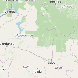
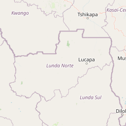
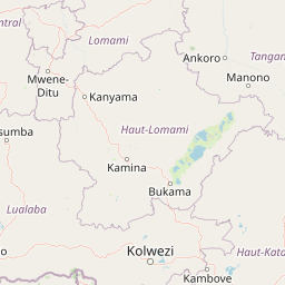
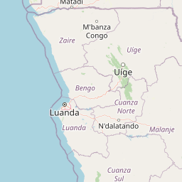
Distance Map Between Brazzaville and Beni
Brazzaville, Republic of the Congo ↔ Beni, Goma, Democratic Republic of the Congo = 1033 miles = 1663 km.


How far is it between Brazzaville and Beni
Brazzaville is located in Republic of the Congo with (-4.2661,15.2832) coordinates and Beni is located in Democratic Republic of the Congo with (0.4911,29.4731) coordinates. The calculated flying distance from Brazzaville to Beni is equal to 1033 miles which is equal to 1663 km.
If you want to go by car, the driving distance between Brazzaville and Beni is 3002.72 km. If you ride your car with an average speed of 112 kilometers/hour (70 miles/h), travel time will be 26 hours 48 minutes. Please check the avg. speed travel time table on the right for various options.
Difference between fly and go by a car is 1340 km.
| City/Place | Latitude and Longitude | GPS Coordinates |
|---|---|---|
| Brazzaville | -4.2661, 15.2832 | 4° 15´ 58.0680'' S 15° 16´ 59.4480'' E |
| Beni | 0.4911, 29.4731 | 0° 29´ 28.0680'' N 29° 28´ 23.0160'' E |
Estimated Travel Time Between Brazzaville and Beni
| Average Speed | Travel Time |
|---|---|
| 30 mph (48 km/h) | 62 hours 33 minutes |
| 40 mph (64 km/h) | 46 hours 55 minutes |
| 50 mph (80 km/h) | 37 hours 32 minutes |
| 60 mph (97 km/h) | 30 hours 57 minutes |
| 70 mph (112 km/h) | 26 hours 48 minutes |
| 75 mph (120 km/h) | 25 hours 01 minutes |
Related Distances from Brazzaville
| Cities | Distance |
|---|---|
| Brazzaville to Kinshasa | 10 km |
| Brazzaville to Lubumbashi | 2329 km |
| Brazzaville to Goma | 2687 km |
| Brazzaville to Mbandaka | 3830 km |
| Brazzaville to Matadi | 368 km |
Related Distances to Beni
| Cities | Distance |
|---|---|
| Brazzaville to Beni | 3003 km |
| Pointe Noire to Beni | 3569 km |