Distance from Bucharest to Ceska Trebova
Distance between Bucharest and Ceska Trebova is 949 kilometers (590 miles).
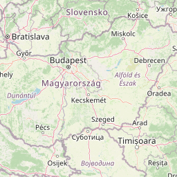
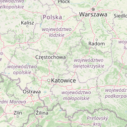
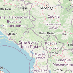
Distance Map Between Bucharest and Ceska Trebova
Bucharest, Romania ↔ Ceska Trebova, Pardubice, Czech Republic = 590 miles = 949 km.


Leaflet | © OpenStreetMap
How far is it between Bucharest and Česká Třebová
Bucharest is located in Romania with (44.4323,26.1063) coordinates and Ceska Trebova is located in Czech Republic with (49.9044,16.4441) coordinates. The calculated flying distance from Bucharest to Ceska Trebova is equal to 590 miles which is equal to 949 km.
| City/Place | Latitude and Longitude | GPS Coordinates |
|---|---|---|
| Bucharest | 44.4323, 26.1063 | 44° 25´ 56.1000'' N 26° 6´ 22.5360'' E |
| Ceska Trebova | 49.9044, 16.4441 | 49° 54´ 15.6960'' N 16° 26´ 38.8680'' E |
Bucharest, Romania
Related Distances from Bucharest
| Cities | Distance |
|---|---|
| Bucharest to Prague | 1334 km |
| Bucharest to Brno | 1155 km |
| Bucharest to Karlovy Vary | 1483 km |
| Bucharest to Roznov Pod Radhostem | 1177 km |
| Bucharest to Ostrava | 1297 km |
Ceska Trebova, Pardubice, Czech Republic
Related Distances to Ceska Trebova
| Cities | Distance |
|---|---|
| Usti Nad Orlici to Ceska Trebova | 9 km |
| Svitavy to Ceska Trebova | 22 km |