Distance from Bucharest to Czerwionka-Leszczyny
Distance between Bucharest and Czerwionka-Leszczyny is 847 kilometers (526 miles).
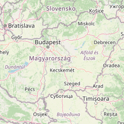
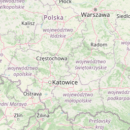
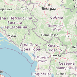
Distance Map Between Bucharest and Czerwionka-Leszczyny
Bucharest, Romania ↔ Czerwionka-Leszczyny, Katowice, Poland = 526 miles = 847 km.


Leaflet | © OpenStreetMap
How far is it between Bucharest and Czerwionka-Leszczyny
Bucharest is located in Romania with (44.4323,26.1063) coordinates and Czerwionka-Leszczyny is located in Poland with (50.1501,18.6776) coordinates. The calculated flying distance from Bucharest to Czerwionka-Leszczyny is equal to 526 miles which is equal to 847 km.
| City/Place | Latitude and Longitude | GPS Coordinates |
|---|---|---|
| Bucharest | 44.4323, 26.1063 | 44° 25´ 56.1000'' N 26° 6´ 22.5360'' E |
| Czerwionka-Leszczyny | 50.1501, 18.6776 | 50° 9´ 0.2520'' N 18° 40´ 39.4320'' E |
Bucharest, Romania
Related Distances from Bucharest
| Cities | Distance |
|---|---|
| Bucharest to Lodz | 1600 km |
| Bucharest to Minsk Mazowiecki | 1740 km |
| Bucharest to Bierun | 1399 km |
| Bucharest to Tomaszow Lubelski | 1191 km |
| Bucharest to Kwidzyn | 1860 km |
Czerwionka-Leszczyny, Katowice, Poland