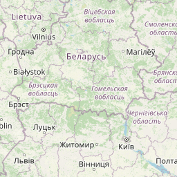
Distance from Bucharest to Tagiura
Distance between Bucharest and Tagiura is 1692 kilometers (1051 miles).
Distance Map Between Bucharest and Tagiura
Bucharest, Romania ↔ Tagiura, Tripoli, Libya = 1051 miles = 1692 km.


Leaflet | © OpenStreetMap
How far is it between Bucharest and Tagiura
Bucharest is located in Romania with (44.4323,26.1063) coordinates and Tagiura is located in Libya with (32.8817,13.3506) coordinates. The calculated flying distance from Bucharest to Tagiura is equal to 1051 miles which is equal to 1692 km.
| City/Place | Latitude and Longitude | GPS Coordinates |
|---|---|---|
| Bucharest | 44.4323, 26.1063 | 44° 25´ 56.1000'' N 26° 6´ 22.5360'' E |
| Tagiura | 32.8817, 13.3506 | 32° 52´ 54.0120'' N 13° 21´ 2.0160'' E |
Bucharest, Romania
Related Distances from Bucharest
| Cities | Distance |
|---|---|
| Bucharest to Benghazi | 3097 km |
| Bucharest to Tripoli | 2846 km |
| Bucharest to Zuwarah | 2726 km |
| Bucharest to Al Abyar | 4429 km |
| Bucharest to Az Zawiyah | 2795 km |
Tagiura, Tripoli, Libya
Related Distances to Tagiura
| Cities | Distance |
|---|---|
| Al Khums to Tagiura | 100 km |
| Hun to Tagiura | 600 km |
| Sirte to Tagiura | 431 km |
| Awbari to Tagiura | 980 km |
| Ghat to Tagiura | 1350 km |