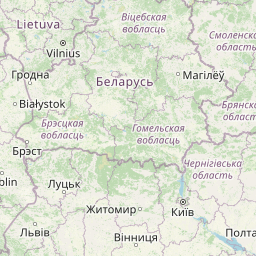
Distance from Bucharest to Wlochy
Distance between Bucharest and Wlochy is 942 kilometers (585 miles).
Distance Map Between Bucharest and Wlochy
Bucharest, Romania ↔ Wlochy, Warsaw, Poland = 585 miles = 942 km.


Leaflet | © OpenStreetMap
How far is it between Bucharest and Włochy
Bucharest is located in Romania with (44.4323,26.1063) coordinates and Wlochy is located in Poland with (52.1794,20.9461) coordinates. The calculated flying distance from Bucharest to Wlochy is equal to 585 miles which is equal to 942 km.
| City/Place | Latitude and Longitude | GPS Coordinates |
|---|---|---|
| Bucharest | 44.4323, 26.1063 | 44° 25´ 56.1000'' N 26° 6´ 22.5360'' E |
| Wlochy | 52.1794, 20.9461 | 52° 10´ 45.8760'' N 20° 56´ 46.0320'' E |
Bucharest, Romania
Related Distances from Bucharest
| Cities | Distance |
|---|---|
| Bucharest to Warsaw | 1673 km |
| Bucharest to Krakow | 1110 km |
| Bucharest to Gdansk | 1931 km |
| Bucharest to Wroclaw | 1549 km |
| Bucharest to Poznan | 1729 km |
Wlochy, Warsaw, Poland
Related Distances to Wlochy
| Cities | Distance |
|---|---|
| Plock to Wlochy | 122 km |
| Otwock to Wlochy | 32 km |
| Wawer to Wlochy | 24 km |
| Piastow to Wlochy | 11 km |
| Ciechanow to Wlochy | 106 km |