Distance from Budapest to Slany
Distance between Budapest and Slany is 473 kilometers (294 miles).
Driving distance from Budapest to Slany is 566 kilometers (351 miles).
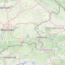
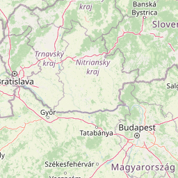
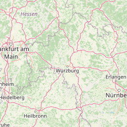
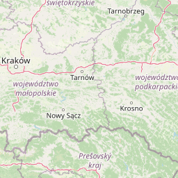
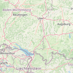
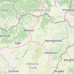
Distance Map Between Budapest and Slany
Budapest, Hungary ↔ Slany, , Czech Republic = 294 miles = 473 km.
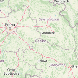
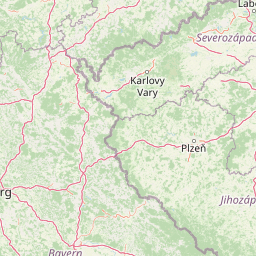

How far is it between Budapest and Slaný
Budapest is located in Hungary with (47.498,19.0399) coordinates and Slany is located in Czech Republic with (50.2305,14.0869) coordinates. The calculated flying distance from Budapest to Slany is equal to 294 miles which is equal to 473 km.
If you want to go by car, the driving distance between Budapest and Slany is 565.58 km. If you ride your car with an average speed of 112 kilometers/hour (70 miles/h), travel time will be 05 hours 02 minutes. Please check the avg. speed travel time table on the right for various options.
Difference between fly and go by a car is 93 km.
| City/Place | Latitude and Longitude | GPS Coordinates |
|---|---|---|
| Budapest | 47.498, 19.0399 | 47° 29´ 52.8360'' N 19° 2´ 23.6760'' E |
| Slany | 50.2305, 14.0869 | 50° 13´ 49.6560'' N 14° 5´ 12.9480'' E |
Estimated Travel Time Between Budapest and Slaný
| Average Speed | Travel Time |
|---|---|
| 30 mph (48 km/h) | 11 hours 46 minutes |
| 40 mph (64 km/h) | 08 hours 50 minutes |
| 50 mph (80 km/h) | 07 hours 04 minutes |
| 60 mph (97 km/h) | 05 hours 49 minutes |
| 70 mph (112 km/h) | 05 hours 02 minutes |
| 75 mph (120 km/h) | 04 hours 42 minutes |
Related Distances from Budapest
| Cities | Distance |
|---|---|
| Budapest to Prague | 527 km |
| Budapest to Brno | 326 km |
| Budapest to Karlovy Vary | 655 km |
| Budapest to Ostrava | 489 km |
| Budapest to Zlin | 416 km |