Distance from Budaun to Soron
Distance between Budaun and Soron is 41 kilometers (25 miles).
Driving distance from Budaun to Soron is 44 kilometers (27 miles).
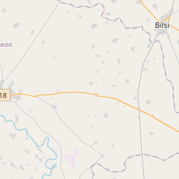
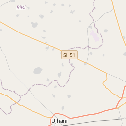
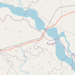
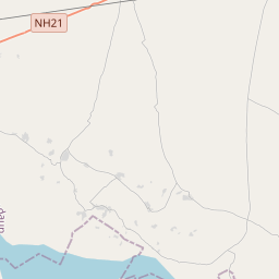
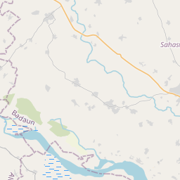
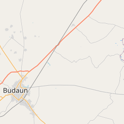
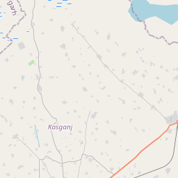
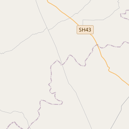
Distance Map Between Budaun and Soron
Budaun, Lucknow, India ↔ Soron, Lucknow, India = 25 miles = 41 km.

How far is it between Budaun and Soron
Budaun is located in India with (28.0362,79.1263) coordinates and Soron is located in India with (27.8901,78.7467) coordinates. The calculated flying distance from Budaun to Soron is equal to 25 miles which is equal to 41 km.
If you want to go by car, the driving distance between Budaun and Soron is 43.53 km. If you ride your car with an average speed of 112 kilometers/hour (70 miles/h), travel time will be 00 hours 23 minutes. Please check the avg. speed travel time table on the right for various options.
Difference between fly and go by a car is 3 km.
| City/Place | Latitude and Longitude | GPS Coordinates |
|---|---|---|
| Budaun | 28.0362, 79.1263 | 28° 2´ 10.3200'' N 79° 7´ 34.7160'' E |
| Soron | 27.8901, 78.7467 | 27° 53´ 24.4320'' N 78° 44´ 48.1200'' E |
Estimated Travel Time Between Budaun and Soron
| Average Speed | Travel Time |
|---|---|
| 30 mph (48 km/h) | 00 hours 54 minutes |
| 40 mph (64 km/h) | 00 hours 40 minutes |
| 50 mph (80 km/h) | 00 hours 32 minutes |
| 60 mph (97 km/h) | 00 hours 26 minutes |
| 70 mph (112 km/h) | 00 hours 23 minutes |
| 75 mph (120 km/h) | 00 hours 21 minutes |
Related Distances from Budaun
| Cities | Distance |
|---|---|
| Budaun to Sahaswan | 41 km |
| Budaun to Dataganj | 28 km |
| Budaun to Sambhal | 90 km |
| Budaun to Gunnaur | 78 km |
| Budaun to Jalalabad 2 | 77 km |
Related Distances to Soron
| Cities | Distance |
|---|---|
| Agra to Soron | 125 km |
| Mathura to Soron | 120 km |
| Kasganj to Soron | 14 km |
| Aligarh to Soron | 73 km |
| Shikohabad to Soron | 97 km |