Distance from Bundaberg to Townsville
Distance between Bundaberg and Townsville is 845 kilometers (525 miles).
Driving distance from Bundaberg to Townsville is 1005 kilometers (625 miles).
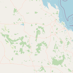
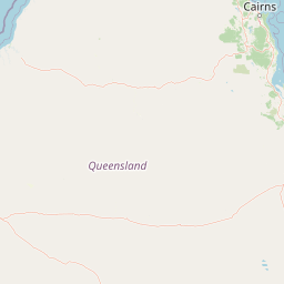
Distance Map Between Bundaberg and Townsville
Bundaberg, Brisbane, Australia ↔ Townsville, Brisbane, Australia = 525 miles = 845 km.
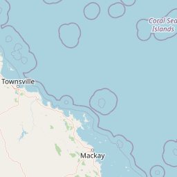


How far is it between Bundaberg and Townsville
Bundaberg is located in Australia with (-24.8662,152.3479) coordinates and Townsville is located in Australia with (-19.2664,146.8057) coordinates. The calculated flying distance from Bundaberg to Townsville is equal to 525 miles which is equal to 845 km.
If you want to go by car, the driving distance between Bundaberg and Townsville is 1005.25 km. If you ride your car with an average speed of 112 kilometers/hour (70 miles/h), travel time will be 08 hours 58 minutes. Please check the avg. speed travel time table on the right for various options.
Difference between fly and go by a car is 160 km.
| City/Place | Latitude and Longitude | GPS Coordinates |
|---|---|---|
| Bundaberg | -24.8662, 152.3479 | 24° 51´ 58.3560'' S 152° 20´ 52.4400'' E |
| Townsville | -19.2664, 146.8057 | 19° 15´ 59.0040'' S 146° 48´ 20.4840'' E |
Estimated Travel Time Between Bundaberg and Townsville
| Average Speed | Travel Time |
|---|---|
| 30 mph (48 km/h) | 20 hours 56 minutes |
| 40 mph (64 km/h) | 15 hours 42 minutes |
| 50 mph (80 km/h) | 12 hours 33 minutes |
| 60 mph (97 km/h) | 10 hours 21 minutes |
| 70 mph (112 km/h) | 08 hours 58 minutes |
| 75 mph (120 km/h) | 08 hours 22 minutes |
Related Distances from Bundaberg
| Cities | Distance |
|---|---|
| Bundaberg to Caboolture | 317 km |
| Bundaberg to Cairns | 1352 km |
| Bundaberg to Caloundra | 288 km |
| Bundaberg to Deception Bay | 330 km |
| Bundaberg to Gladstone | 186 km |
| Bundaberg to Gold Coast | 440 km |
| Bundaberg to Mackay | 620 km |
| Bundaberg to Maryborough | 112 km |
| Bundaberg to Morayfield | 321 km |
| Bundaberg to Mount Isa | 1608 km |
Related Distances to Townsville
| Cities | Distance |
|---|---|
| Caloundra to Townsville | 1281 km |
| Toowoomba to Townsville | 1365 km |
| Mackay to Townsville | 386 km |
| Buderim to Townsville | 1264 km |
| Nerang to Townsville | 1423 km |
| Bundaberg to Townsville | 1005 km |
| Caboolture to Townsville | 1308 km |
| Maryborough to Townsville | 1103 km |
| Mount Isa to Townsville | 903 km |
| Southport 2 to Townsville | 1425 km |