Distance from Bungoma to Kilifi
Distance between Bungoma and Kilifi is 750 kilometers (466 miles).
Driving distance from Bungoma to Kilifi is 918 kilometers (570 miles).
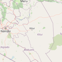
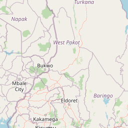
Distance Map Between Bungoma and Kilifi
Bungoma, Kenya ↔ Kilifi, Kenya = 466 miles = 750 km.


How far is it between Bungoma and Kilifi
Bungoma is located in Kenya with (0.5635,34.5606) coordinates and Kilifi is located in Kenya with (-3.6305,39.8499) coordinates. The calculated flying distance from Bungoma to Kilifi is equal to 466 miles which is equal to 750 km.
If you want to go by car, the driving distance between Bungoma and Kilifi is 917.94 km. If you ride your car with an average speed of 112 kilometers/hour (70 miles/h), travel time will be 08 hours 11 minutes. Please check the avg. speed travel time table on the right for various options.
Difference between fly and go by a car is 168 km.
| City/Place | Latitude and Longitude | GPS Coordinates |
|---|---|---|
| Bungoma | 0.5635, 34.5606 | 0° 33´ 48.6000'' N 34° 33´ 37.9800'' E |
| Kilifi | -3.6305, 39.8499 | 3° 37´ 49.6200'' S 39° 50´ 59.7120'' E |
Estimated Travel Time Between Bungoma and Kilifi
| Average Speed | Travel Time |
|---|---|
| 30 mph (48 km/h) | 19 hours 07 minutes |
| 40 mph (64 km/h) | 14 hours 20 minutes |
| 50 mph (80 km/h) | 11 hours 28 minutes |
| 60 mph (97 km/h) | 09 hours 27 minutes |
| 70 mph (112 km/h) | 08 hours 11 minutes |
| 75 mph (120 km/h) | 07 hours 38 minutes |
Related Distances from Bungoma
| Cities | Distance |
|---|---|
| Bungoma to Eldoret | 96 km |
| Bungoma to Nairobi | 406 km |
| Bungoma to Kitale | 88 km |
| Bungoma to Kakamega | 49 km |
| Bungoma to Kisumu | 99 km |
Related Distances to Kilifi
| Cities | Distance |
|---|---|
| Nairobi to Kilifi | 507 km |
| Garissa to Kilifi | 407 km |
| Eldoret to Kilifi | 828 km |
| Embu 2 to Kilifi | 606 km |
| Kericho to Kilifi | 774 km |