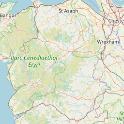
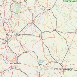
Distance from Burnley to Derby
Distance between Burnley and Derby is 110 kilometers (68 miles).
Driving distance from Burnley to Derby is 187 kilometers (116 miles).
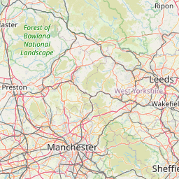
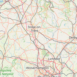
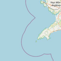
Distance Map Between Burnley and Derby
Burnley, London, United Kingdom ↔ Derby, London, United Kingdom = 68 miles = 110 km.

How far is it between Burnley and Derby
Burnley is located in United Kingdom with (53.8,-2.2333) coordinates and Derby is located in United Kingdom with (52.9228,-1.4766) coordinates. The calculated flying distance from Burnley to Derby is equal to 68 miles which is equal to 110 km.
If you want to go by car, the driving distance between Burnley and Derby is 186.8 km. If you ride your car with an average speed of 112 kilometers/hour (70 miles/h), travel time will be 01 hours 40 minutes. Please check the avg. speed travel time table on the right for various options.
Difference between fly and go by a car is 77 km.
| City/Place | Latitude and Longitude | GPS Coordinates |
|---|---|---|
| Burnley | 53.8, -2.2333 | 53° 47´ 60.0000'' N 2° 13´ 59.9880'' W |
| Derby | 52.9228, -1.4766 | 52° 55´ 21.9720'' N 1° 28´ 35.8680'' W |
Estimated Travel Time Between Burnley and Derby
| Average Speed | Travel Time |
|---|---|
| 30 mph (48 km/h) | 03 hours 53 minutes |
| 40 mph (64 km/h) | 02 hours 55 minutes |
| 50 mph (80 km/h) | 02 hours 20 minutes |
| 60 mph (97 km/h) | 01 hours 55 minutes |
| 70 mph (112 km/h) | 01 hours 40 minutes |
| 75 mph (120 km/h) | 01 hours 33 minutes |
Related Distances from Burnley
| Cities | Distance |
|---|---|
| Burnley to Manchester | 48 km |
| Burnley to Liverpool | 86 km |
| Burnley to Halifax 2 | 33 km |
| Burnley to City Of London | 397 km |
| Burnley to Leeds | 96 km |
Related Distances to Derby
| Cities | Distance |
|---|---|
| Birmingham to Derby | 76 km |
| Coventry to Derby | 84 km |
| Burton Upon Trent to Derby | 20 km |
| Nottingham to Derby | 25 km |
| Bradford to Derby | 134 km |