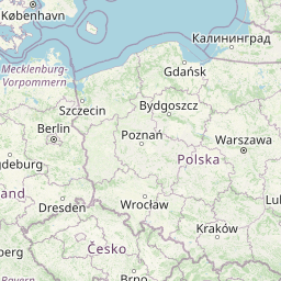
Distance from Bursa to Benesov
Distance between Bursa and Benesov is 1550 kilometers (963 miles).
Distance Map Between Bursa and Benesov
Bursa, Turkey ↔ Benesov, , Czech Republic = 963 miles = 1550 km.


Leaflet | © OpenStreetMap
How far is it between Bursa and Benešov
Bursa is located in Turkey with (40.1927,29.084) coordinates and Benesov is located in Czech Republic with (49.7816,14.687) coordinates. The calculated flying distance from Bursa to Benesov is equal to 963 miles which is equal to 1550 km.
| City/Place | Latitude and Longitude | GPS Coordinates |
|---|---|---|
| Bursa | 40.1927, 29.084 | 40° 11´ 33.5760'' N 29° 5´ 2.5080'' E |
| Benesov | 49.7816, 14.687 | 49° 46´ 53.8320'' N 14° 41´ 13.0920'' E |
Bursa, Turkey
Related Distances from Bursa
| Cities | Distance |
|---|---|
| Bursa to Prague | 2003 km |
| Bursa to Prerov | 1890 km |
| Bursa to Blansko | 1835 km |
| Bursa to Letnany | 2008 km |
| Bursa to Ceska Lipa | 2100 km |
Benesov, , Czech Republic
Related Distances to Benesov
| Cities | Distance |
|---|---|
| Izmir to Benesov | 2094 km |
| Istanbul to Benesov | 1812 km |