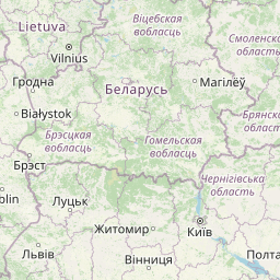
Distance from Bursa to Otwock
Distance between Bursa and Otwock is 1453 kilometers (903 miles).
Distance Map Between Bursa and Otwock
Bursa, Turkey ↔ Otwock, Warsaw, Poland = 903 miles = 1453 km.


Leaflet | © OpenStreetMap
How far is it between Bursa and Otwock
Bursa is located in Turkey with (40.1927,29.084) coordinates and Otwock is located in Poland with (52.1058,21.2613) coordinates. The calculated flying distance from Bursa to Otwock is equal to 903 miles which is equal to 1453 km.
| City/Place | Latitude and Longitude | GPS Coordinates |
|---|---|---|
| Bursa | 40.1927, 29.084 | 40° 11´ 33.5760'' N 29° 5´ 2.5080'' E |
| Otwock | 52.1058, 21.2613 | 52° 6´ 20.7720'' N 21° 15´ 40.6440'' E |
Bursa, Turkey
Related Distances from Bursa
| Cities | Distance |
|---|---|
| Bursa to Warsaw | 2344 km |
| Bursa to Opole | 2114 km |
| Bursa to Lodz | 2250 km |
| Bursa to Szczecin | 2496 km |
| Bursa to Bialystok | 2534 km |
Otwock, Warsaw, Poland
Related Distances to Otwock
| Cities | Distance |
|---|---|
| Istanbul to Otwock | 2210 km |
| Ankara to Otwock | 2663 km |