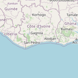
Distance from Burutu to Accra
Distance between Burutu and Accra is 632 kilometers (393 miles).
Distance Map Between Burutu and Accra
Burutu, Asaba, Nigeria ↔ Accra, Ghana = 393 miles = 632 km.


Leaflet | © OpenStreetMap
How far is it between Burutu and Accra
Burutu is located in Nigeria with (5.3509,5.5076) coordinates and Accra is located in Ghana with (5.556,-0.1969) coordinates. The calculated flying distance from Burutu to Accra is equal to 393 miles which is equal to 632 km.
| City/Place | Latitude and Longitude | GPS Coordinates |
|---|---|---|
| Burutu | 5.3509, 5.5076 | 5° 21´ 3.2760'' N 5° 30´ 27.2880'' E |
| Accra | 5.556, -0.1969 | 5° 33´ 21.6720'' N 0° 11´ 48.8400'' W |
Accra, Ghana
Related Distances to Accra
| Cities | Distance |
|---|---|
| Lagos to Accra | 472 km |
| Benin City to Accra | 789 km |
| Abuja to Accra | 1219 km |
| Port Harcourt to Accra | 1098 km |
| Kano to Accra | 1508 km |