Distance from Buzovna to Kabul
Distance between Buzovna and Kabul is 1803 kilometers (1120 miles).
Driving distance from Buzovna to Kabul is 2876 kilometers (1787 miles).
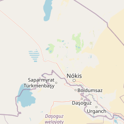
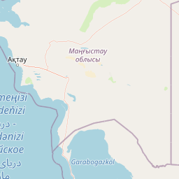
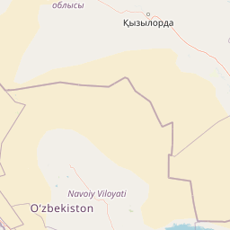
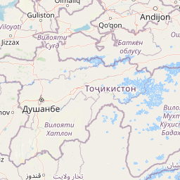
Distance Map Between Buzovna and Kabul
Buzovna, Baku, Azerbaijan ↔ Kabul, Afghanistan = 1120 miles = 1803 km.


How far is it between Buzovna and Kabul
Buzovna is located in Azerbaijan with (40.519,50.1144) coordinates and Kabul is located in Afghanistan with (34.5281,69.1723) coordinates. The calculated flying distance from Buzovna to Kabul is equal to 1120 miles which is equal to 1803 km.
If you want to go by car, the driving distance between Buzovna and Kabul is 2876.35 km. If you ride your car with an average speed of 112 kilometers/hour (70 miles/h), travel time will be 25 hours 40 minutes. Please check the avg. speed travel time table on the right for various options.
Difference between fly and go by a car is 1073 km.
| City/Place | Latitude and Longitude | GPS Coordinates |
|---|---|---|
| Buzovna | 40.519, 50.1144 | 40° 31´ 8.5080'' N 50° 6´ 51.7680'' E |
| Kabul | 34.5281, 69.1723 | 34° 31´ 41.2680'' N 69° 10´ 20.3880'' E |
Estimated Travel Time Between Buzovna and Kabul
| Average Speed | Travel Time |
|---|---|
| 30 mph (48 km/h) | 59 hours 55 minutes |
| 40 mph (64 km/h) | 44 hours 56 minutes |
| 50 mph (80 km/h) | 35 hours 57 minutes |
| 60 mph (97 km/h) | 29 hours 39 minutes |
| 70 mph (112 km/h) | 25 hours 40 minutes |
| 75 mph (120 km/h) | 23 hours 58 minutes |
Related Distances to Kabul
| Cities | Distance |
|---|---|
| Baku to Kabul | 2845 km |
| Biny Selo to Kabul | 2856 km |
| Khirdalan to Kabul | 2832 km |
| Bilajari to Kabul | 2842 km |
| Amirdzhan to Kabul | 2848 km |