Distance from Cabo to Catende
Distance between Cabo and Catende is 86 kilometers (54 miles).
Driving distance from Cabo to Catende is 106 kilometers (66 miles).
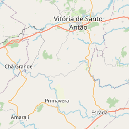
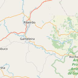
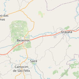
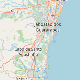
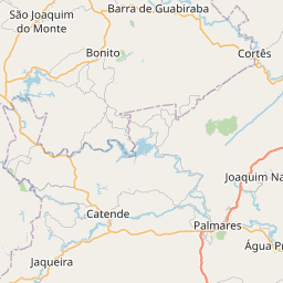
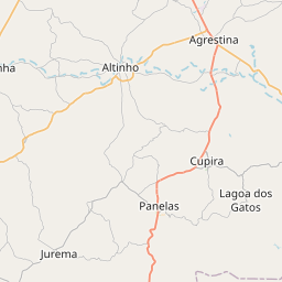
Distance Map Between Cabo and Catende
Cabo, Recife, Brazil ↔ Catende, Recife, Brazil = 54 miles = 86 km.

How far is it between Cabo and Catende
Cabo is located in Brazil with (-8.2833,-35.0333) coordinates and Catende is located in Brazil with (-8.6667,-35.7167) coordinates. The calculated flying distance from Cabo to Catende is equal to 54 miles which is equal to 86 km.
If you want to go by car, the driving distance between Cabo and Catende is 106.15 km. If you ride your car with an average speed of 112 kilometers/hour (70 miles/h), travel time will be 00 hours 56 minutes. Please check the avg. speed travel time table on the right for various options.
Difference between fly and go by a car is 20 km.
| City/Place | Latitude and Longitude | GPS Coordinates |
|---|---|---|
| Cabo | -8.2833, -35.0333 | 8° 16´ 59.9880'' S 35° 1´ 59.9880'' W |
| Catende | -8.6667, -35.7167 | 8° 40´ 0.0120'' S 35° 43´ 0.0120'' W |
Estimated Travel Time Between Cabo and Catende
| Average Speed | Travel Time |
|---|---|
| 30 mph (48 km/h) | 02 hours 12 minutes |
| 40 mph (64 km/h) | 01 hours 39 minutes |
| 50 mph (80 km/h) | 01 hours 19 minutes |
| 60 mph (97 km/h) | 01 hours 05 minutes |
| 70 mph (112 km/h) | 00 hours 56 minutes |
| 75 mph (120 km/h) | 00 hours 53 minutes |
Related Distances from Cabo
| Cities | Distance |
|---|---|
| Cabo to Paulista | 52 km |
| Cabo to Tamandare | 74 km |
| Cabo to Surubim | 146 km |
| Cabo to Sao Lourenco Da Mata | 52 km |
| Cabo to Santa Cruz Do Capibaribe | 199 km |
Related Distances to Catende
| Cities | Distance |
|---|---|
| Bezerros to Catende | 69 km |
| Cabo to Catende | 106 km |
| Carpina to Catende | 169 km |
| Belo Jardim to Catende | 109 km |
| Caruaru to Catende | 62 km |