Distance from Calauag to Tanay
Distance between Calauag and Tanay is 124 kilometers (77 miles).
Driving distance from Calauag to Tanay is 195 kilometers (121 miles).
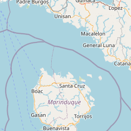
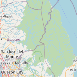
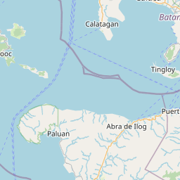
Distance Map Between Calauag and Tanay
Calauag, Calamba, Philippines ↔ Tanay, Calamba, Philippines = 77 miles = 124 km.


How far is it between Calauag and Tanay
Calauag is located in Philippines with (13.9575,122.288) coordinates and Tanay is located in Philippines with (14.4968,121.2846) coordinates. The calculated flying distance from Calauag to Tanay is equal to 77 miles which is equal to 124 km.
If you want to go by car, the driving distance between Calauag and Tanay is 195.22 km. If you ride your car with an average speed of 112 kilometers/hour (70 miles/h), travel time will be 01 hours 44 minutes. Please check the avg. speed travel time table on the right for various options.
Difference between fly and go by a car is 71 km.
| City/Place | Latitude and Longitude | GPS Coordinates |
|---|---|---|
| Calauag | 13.9575, 122.288 | 13° 57´ 27.0000'' N 122° 17´ 16.8000'' E |
| Tanay | 14.4968, 121.2846 | 14° 29´ 48.4800'' N 121° 17´ 4.5600'' E |
Estimated Travel Time Between Calauag and Tanay
| Average Speed | Travel Time |
|---|---|
| 30 mph (48 km/h) | 04 hours 04 minutes |
| 40 mph (64 km/h) | 03 hours 03 minutes |
| 50 mph (80 km/h) | 02 hours 26 minutes |
| 60 mph (97 km/h) | 02 hours 00 minutes |
| 70 mph (112 km/h) | 01 hours 44 minutes |
| 75 mph (120 km/h) | 01 hours 37 minutes |
Related Distances from Calauag
| Cities | Distance |
|---|---|
| Calauag to Lucena | 96 km |
| Calauag to Lopez | 12 km |
| Calauag to Gumaca | 32 km |
| Calauag to Pagbilao | 85 km |
| Calauag to Candelaria | 117 km |
Related Distances to Tanay
| Cities | Distance |
|---|---|
| Antipolo to Tanay | 22 km |
| Morong to Tanay | 10 km |
| Angono to Tanay | 25 km |
| Taguig to Tanay | 37 km |
| Pililla to Tanay | 3 km |