Distance from Caldwell to Kuna
Distance between Caldwell and Kuna is 29 kilometers (18 miles).
Driving distance from Caldwell to Kuna is 36 kilometers (23 miles).
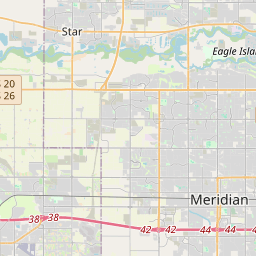
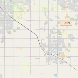
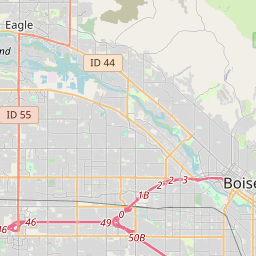
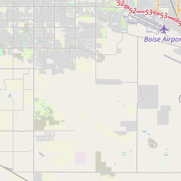
Distance Map Between Caldwell and Kuna
Caldwell, Boise, United States ↔ Kuna, Boise, United States = 18 miles = 29 km.


How far is it between Caldwell and Kuna
Caldwell is located in United States with (43.6629,-116.6874) coordinates and Kuna is located in United States with (43.4918,-116.4201) coordinates. The calculated flying distance from Caldwell to Kuna is equal to 18 miles which is equal to 29 km.
If you want to go by car, the driving distance between Caldwell and Kuna is 36.45 km. If you ride your car with an average speed of 112 kilometers/hour (70 miles/h), travel time will be 00 hours 19 minutes. Please check the avg. speed travel time table on the right for various options.
Difference between fly and go by a car is 7 km.
| City/Place | Latitude and Longitude | GPS Coordinates |
|---|---|---|
| Caldwell | 43.6629, -116.6874 | 43° 39´ 46.5840'' N 116° 41´ 14.4960'' W |
| Kuna | 43.4918, -116.4201 | 43° 29´ 30.5880'' N 116° 25´ 12.4320'' W |
Estimated Travel Time Between Caldwell and Kuna
| Average Speed | Travel Time |
|---|---|
| 30 mph (48 km/h) | 00 hours 45 minutes |
| 40 mph (64 km/h) | 00 hours 34 minutes |
| 50 mph (80 km/h) | 00 hours 27 minutes |
| 60 mph (97 km/h) | 00 hours 22 minutes |
| 70 mph (112 km/h) | 00 hours 19 minutes |
| 75 mph (120 km/h) | 00 hours 18 minutes |
Related Distances from Caldwell
| Cities | Distance |
|---|---|
| Caldwell to Eagle | 30 km |
| Caldwell to Idaho Falls | 488 km |
| Caldwell to Coeur D Alene | 688 km |
| Caldwell to Kuna | 36 km |
Related Distances to Kuna
| Cities | Distance |
|---|---|
| Meridian to Kuna | 16 km |
| Nampa to Kuna | 17 km |
| Twin Falls to Kuna | 218 km |
| Eagle to Kuna | 28 km |
| Coeur D Alene to Kuna | 732 km |