Distance from Candelaria to Santo Tomas
Distance between Candelaria and Santo Tomas is 36 kilometers (23 miles).
Driving distance from Candelaria to Santo Tomas is 46 kilometers (29 miles).
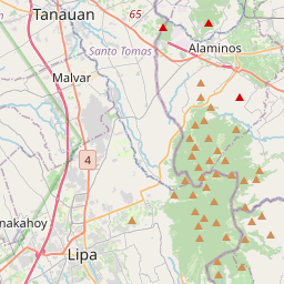
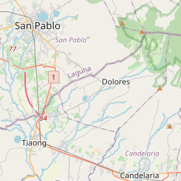
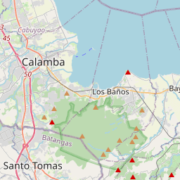
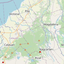
Distance Map Between Candelaria and Santo Tomas
Candelaria, Calamba, Philippines ↔ Santo Tomas, Calamba, Philippines = 23 miles = 36 km.

How far is it between Candelaria and Santo Tomas
Candelaria is located in Philippines with (13.9311,121.4233) coordinates and Santo Tomas is located in Philippines with (14.1079,121.1414) coordinates. The calculated flying distance from Candelaria to Santo Tomas is equal to 23 miles which is equal to 36 km.
If you want to go by car, the driving distance between Candelaria and Santo Tomas is 46.32 km. If you ride your car with an average speed of 112 kilometers/hour (70 miles/h), travel time will be 00 hours 24 minutes. Please check the avg. speed travel time table on the right for various options.
Difference between fly and go by a car is 10 km.
| City/Place | Latitude and Longitude | GPS Coordinates |
|---|---|---|
| Candelaria | 13.9311, 121.4233 | 13° 55´ 51.9960'' N 121° 25´ 23.9880'' E |
| Santo Tomas | 14.1079, 121.1414 | 14° 6´ 28.4400'' N 121° 8´ 28.8960'' E |
Estimated Travel Time Between Candelaria and Santo Tomas
| Average Speed | Travel Time |
|---|---|
| 30 mph (48 km/h) | 00 hours 57 minutes |
| 40 mph (64 km/h) | 00 hours 43 minutes |
| 50 mph (80 km/h) | 00 hours 34 minutes |
| 60 mph (97 km/h) | 00 hours 28 minutes |
| 70 mph (112 km/h) | 00 hours 24 minutes |
| 75 mph (120 km/h) | 00 hours 23 minutes |
Related Distances from Candelaria
| Cities | Distance |
|---|---|
| Candelaria to Lucena | 26 km |
| Candelaria to San Pablo | 25 km |
| Candelaria to Lopez | 105 km |
| Candelaria to Sariaya | 13 km |
| Candelaria to Lipa City | 40 km |
Related Distances to Santo Tomas
| Cities | Distance |
|---|---|
| Lipa City to Santo Tomas | 27 km |
| Batangas to Santo Tomas | 49 km |
| San Pablo to Santo Tomas | 23 km |
| Lucena to Santo Tomas | 74 km |
| Nasugbu to Santo Tomas | 72 km |