Distance from Canton to Windsor
Distance between Canton and Windsor is 38 kilometers (24 miles).
Driving distance from Canton to Windsor is 54 kilometers (34 miles).
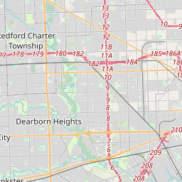
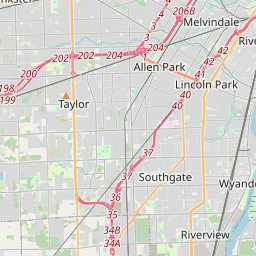
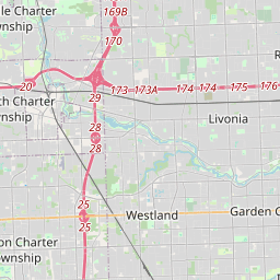
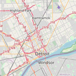
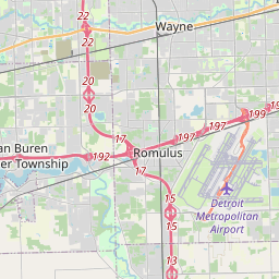
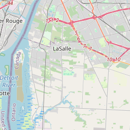
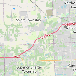
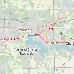
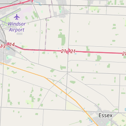
Distance Map Between Canton and Windsor
Canton, Lansing, United States ↔ Windsor, Ontario, Canada = 24 miles = 38 km.


How far is it between Canton and Windsor
Canton is located in United States with (42.3087,-83.4822) coordinates and Windsor is located in Canada with (42.3001,-83.0165) coordinates. The calculated flying distance from Canton to Windsor is equal to 24 miles which is equal to 38 km.
If you want to go by car, the driving distance between Canton and Windsor is 54.43 km. If you ride your car with an average speed of 112 kilometers/hour (70 miles/h), travel time will be 00 hours 29 minutes. Please check the avg. speed travel time table on the right for various options.
Difference between fly and go by a car is 16 km.
| City/Place | Latitude and Longitude | GPS Coordinates |
|---|---|---|
| Canton | 42.3087, -83.4822 | 42° 18´ 31.1400'' N 83° 28´ 55.7760'' W |
| Windsor | 42.3001, -83.0165 | 42° 18´ 0.2880'' N 83° 0´ 59.5440'' W |
Estimated Travel Time Between Canton and Windsor
| Average Speed | Travel Time |
|---|---|
| 30 mph (48 km/h) | 01 hours 08 minutes |
| 40 mph (64 km/h) | 00 hours 51 minutes |
| 50 mph (80 km/h) | 00 hours 40 minutes |
| 60 mph (97 km/h) | 00 hours 33 minutes |
| 70 mph (112 km/h) | 00 hours 29 minutes |
| 75 mph (120 km/h) | 00 hours 27 minutes |
Related Distances from Canton
| Cities | Distance |
|---|---|
| Canton to Toronto | 419 km |
| Canton to Windsor | 54 km |
| Canton to London 2 | 261 km |
| Canton to Markham | 452 km |
| Canton to Halifax | 2213 km |
Related Distances to Windsor
| Cities | Distance |
|---|---|
| Detroit to Windsor | 6 km |
| Chicago to Windsor | 468 km |
| New York City to Windsor | 994 km |
| Sudbury to Windsor | 1107 km |
| Cleveland to Windsor | 277 km |