Distance from Cao Lanh to Ha Tien
Distance between Cao Lanh and Ha Tien is 126 kilometers (78 miles).
Driving distance from Cao Lanh to Ha Tien is 170 kilometers (106 miles).
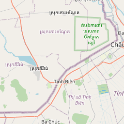
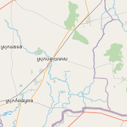
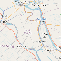
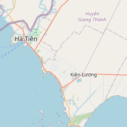
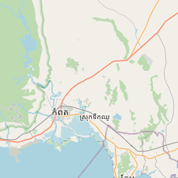
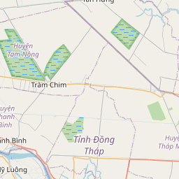
Distance Map Between Cao Lanh and Ha Tien
Cao Lanh, Vietnam ↔ Ha Tien, Rach Gia, Vietnam = 78 miles = 126 km.


How far is it between Cao Lãnh and Hà Tiên
Cao Lanh is located in Vietnam with (10.4602,105.6329) coordinates and Ha Tien is located in Vietnam with (10.3831,104.4875) coordinates. The calculated flying distance from Cao Lanh to Ha Tien is equal to 78 miles which is equal to 126 km.
If you want to go by car, the driving distance between Cao Lanh and Ha Tien is 169.79 km. If you ride your car with an average speed of 112 kilometers/hour (70 miles/h), travel time will be 01 hours 30 minutes. Please check the avg. speed travel time table on the right for various options.
Difference between fly and go by a car is 44 km.
| City/Place | Latitude and Longitude | GPS Coordinates |
|---|---|---|
| Cao Lanh | 10.4602, 105.6329 | 10° 27´ 36.6120'' N 105° 37´ 58.5840'' E |
| Ha Tien | 10.3831, 104.4875 | 10° 22´ 59.1600'' N 104° 29´ 15.1080'' E |
Estimated Travel Time Between Cao Lãnh and Hà Tiên
| Average Speed | Travel Time |
|---|---|
| 30 mph (48 km/h) | 03 hours 32 minutes |
| 40 mph (64 km/h) | 02 hours 39 minutes |
| 50 mph (80 km/h) | 02 hours 07 minutes |
| 60 mph (97 km/h) | 01 hours 45 minutes |
| 70 mph (112 km/h) | 01 hours 30 minutes |
| 75 mph (120 km/h) | 01 hours 24 minutes |
Related Distances from Cao Lanh
| Cities | Distance |
|---|---|
| Cao Lanh to Ho Chi Minh City | 144 km |
| Cao Lanh to Hanoi | 1628 km |
| Cao Lanh to My Tho | 94 km |
| Cao Lanh to Long Xuyen | 103 km |
| Cao Lanh to Nha Trang | 574 km |
Related Distances to Ha Tien
| Cities | Distance |
|---|---|
| Can Tho to Ha Tien | 200 km |
| Hanoi to Ha Tien | 1739 km |
| Ben Tre to Ha Tien | 271 km |
| Ca Mau to Ha Tien | 212 km |
| Cao Lanh to Ha Tien | 170 km |